climbing mount oyama, part 1 : June 21 2025
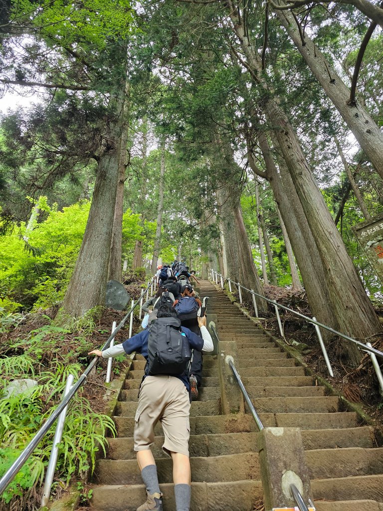
this was the beginning of the mountain trail of the day, flights of never ending steps. very steep and very old, located directly at the back of oyama afuri shrine. it was very evident how green and forested this mountain would be. and for that main reason, this picture is my entry to the @friendlymoose photo contest for this week with the theme "GREEN". anyway, here is the story of the trip.
planning
after the hiking we had two weeks ago, we were dying for another hike. i was even hoping to have one last week, but rain got in the way. this weekend had a better forecast and so the planning took action immediately. we eventually settled for this mountain in kanagawa prefecture. the target was mount oyama. i saw it featured in a tokyo guide.
One of Tokyo’s top 50 scenic sites, Mt. Ōyama gets better the higher you climb. There are a variety of different routes, so you can choose your difficulty level (including the option to just ride the cable car and enjoy the views). source
trail arrival
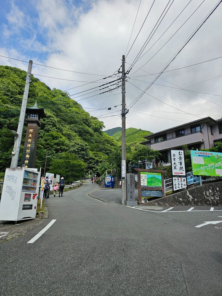
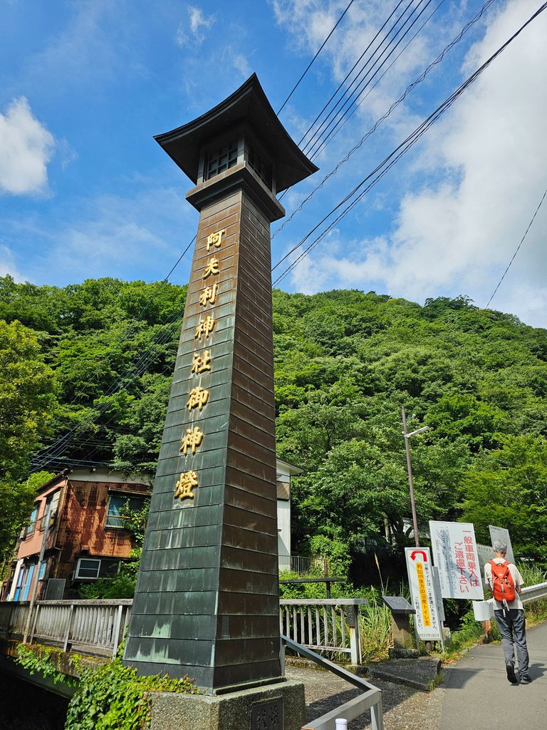
there were a couple of ways to reach the peak, and all of those trek begins in this area, the oyama cable bus stop. from this point, it takes around 10 more minutes to reach the oyama cable station. from there, you have the option to hike the shorter onna-zaka (women's trail), or a longer otoko-zaka (men's trail). and there is also the much simpler ride-the-cable-car option.
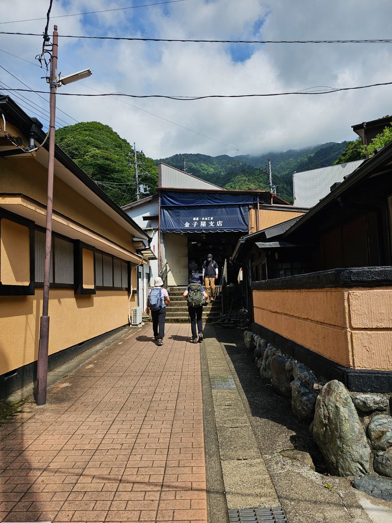
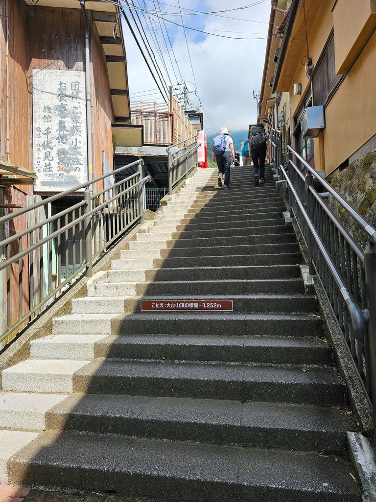
before we get into any of the decision making, we have to get through this 10 minute path. it went through inns and shops and with more than enough stairs. it was such a long way up, and this was not even part of the official trail route. at least there were some fun trivia written on the steps, like how tall mount oyama was and when the cable opened, and this kept us entertained.
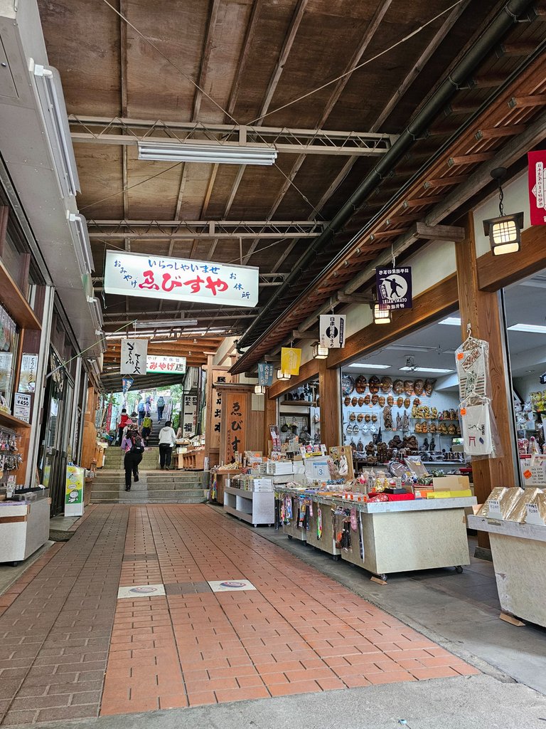
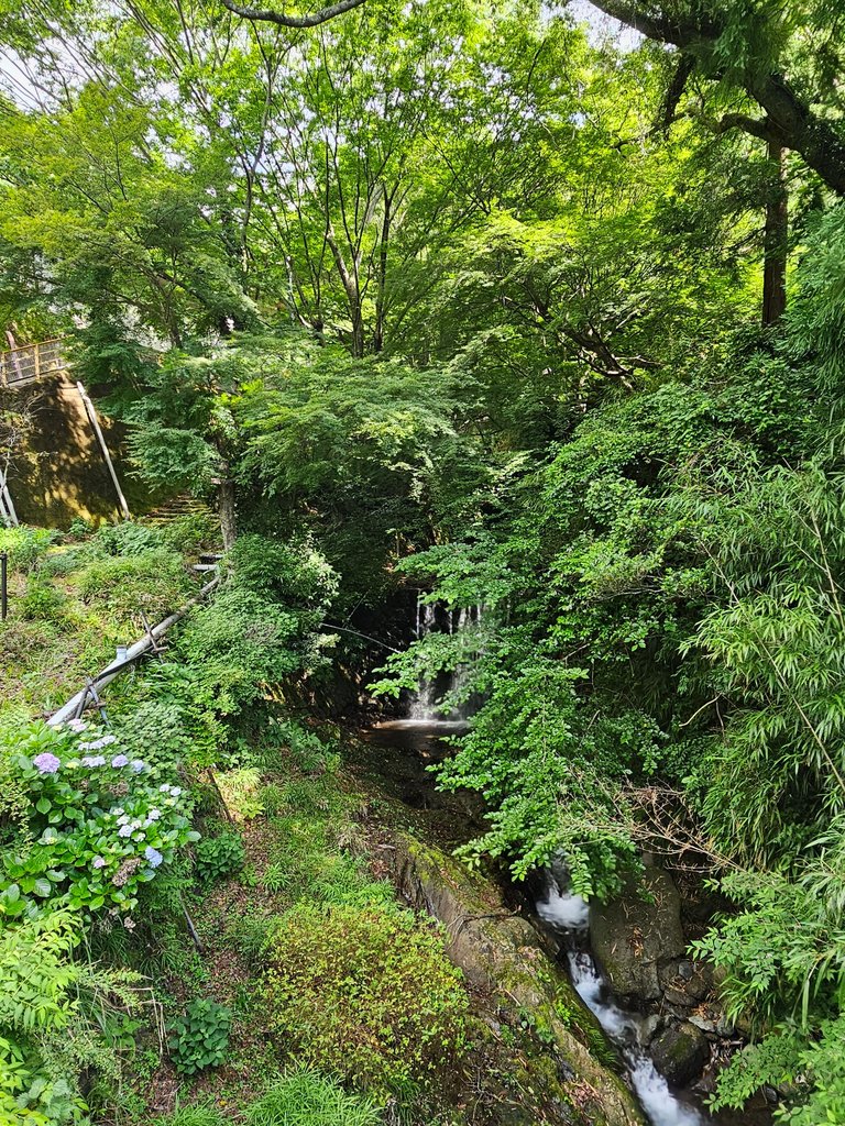
souvenir shops and even restaurants were all scattered along the path. it was around 9 am but my sweat was free falling. i really hated stairs! this path eventually crossed the suzu river, this greenery was an introduction of what is to come.


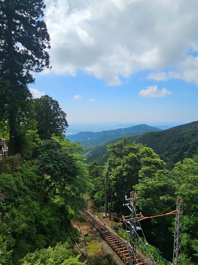
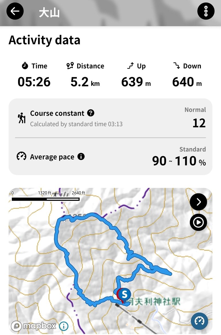
and here we were finally at the cable station. i previously checked how long this hike would take if we do not ride the cable car, it was not good. we planned to circle the whole upper mountain area and with our pace it will take around 6 hours; foregoing the cable car ride will add another 2 to 3 hours to that time.
cable car to afuri jinja (阿夫利神社)
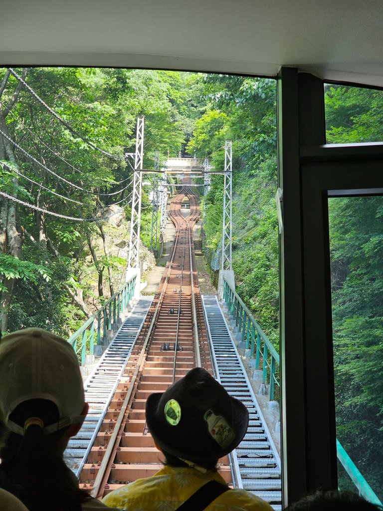

with 1270 yen a round trip ticket until the topmost stop is secured.
The Oyama Cable Car is a funicular cable railway which shuttles passengers up some 278 metres to the sacred Afuri Shrine. source
and since i had no clue what funicular meant, i searched that too. here is what the wiki page says,
The system is characterized by two counterbalanced carriages (also called cars or trains) permanently attached to opposite ends of a haulage cable, which is looped over a pulley at the upper end of the track. The result of such a configuration is that the two carriages move synchronously: as one ascends, the other descends at an equal speed.

i am pretty sure there was something special about this cable car. something which involved an award for excellence which they took pride in, it was posted on the outside walls of the car and on the station. i couldn't agree more, it was such a smooth ride. yes we were a bit cramped inside, but that ride had no bumps. there was an interim station and that was where we met the 2nd car of this funicular system.
the view up in afuri jinja stop was great. i even joked how i could go home at that point and still be happy about the whole trip. and although it was near summer, the air up there was cool and refreshing. it was in the lower temple grounds were we ate our packed breakfast; we needed the energy to tackle this trail.
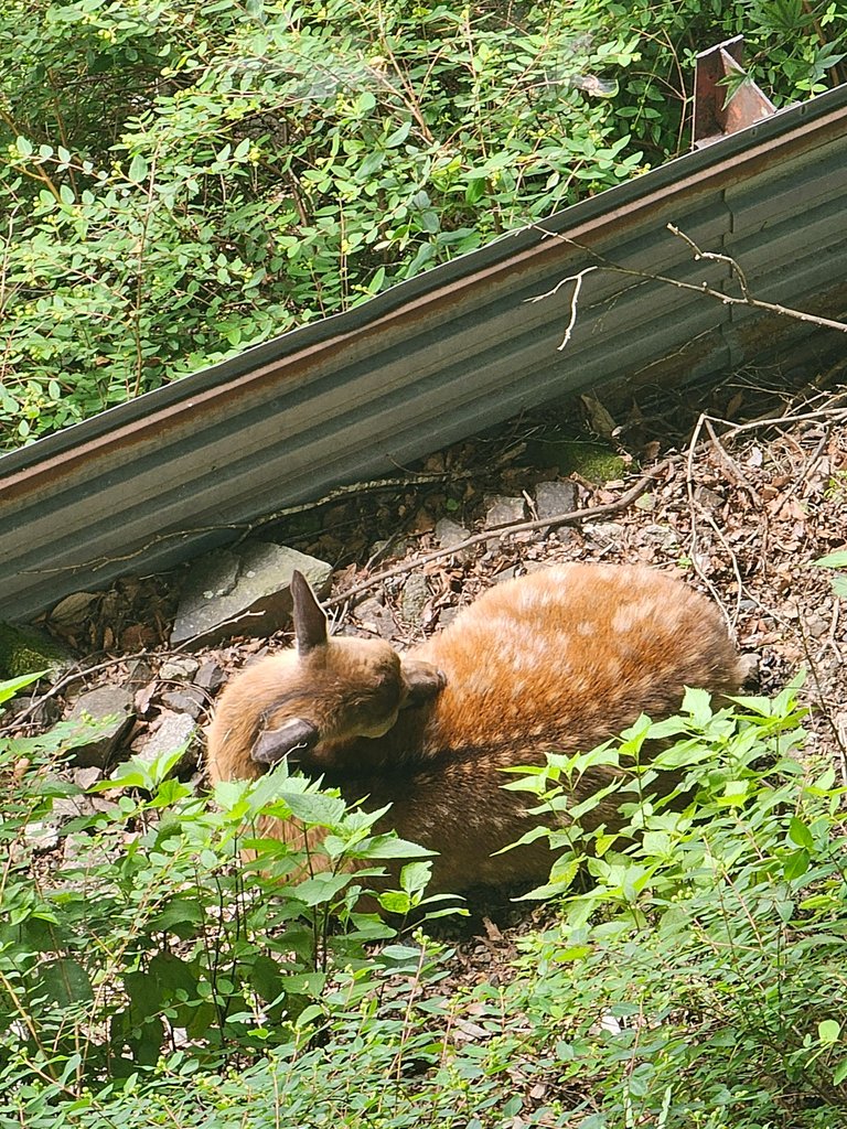
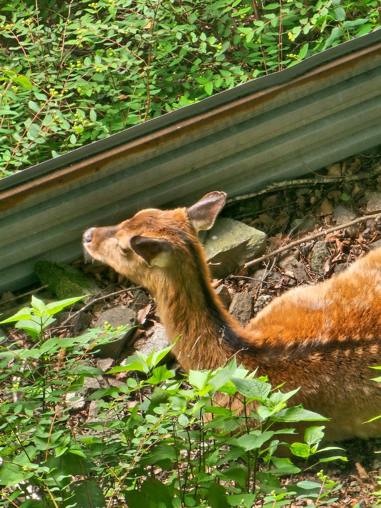
as we had stretching exercises after the meal, people started gathering at the side of the fences and looked down. a deer was in plain sight, just less than 10 meters down from where we were. i don't know if she has gotten used to humans but she was just there so at peace. it was there were i learned that a deer had to kneel their front knees before they can sit down and lay on their sides. very cool! i'm just glad to see wild animals still roaming in this mountain.
oyama afuri shrine (大山阿夫利神社)
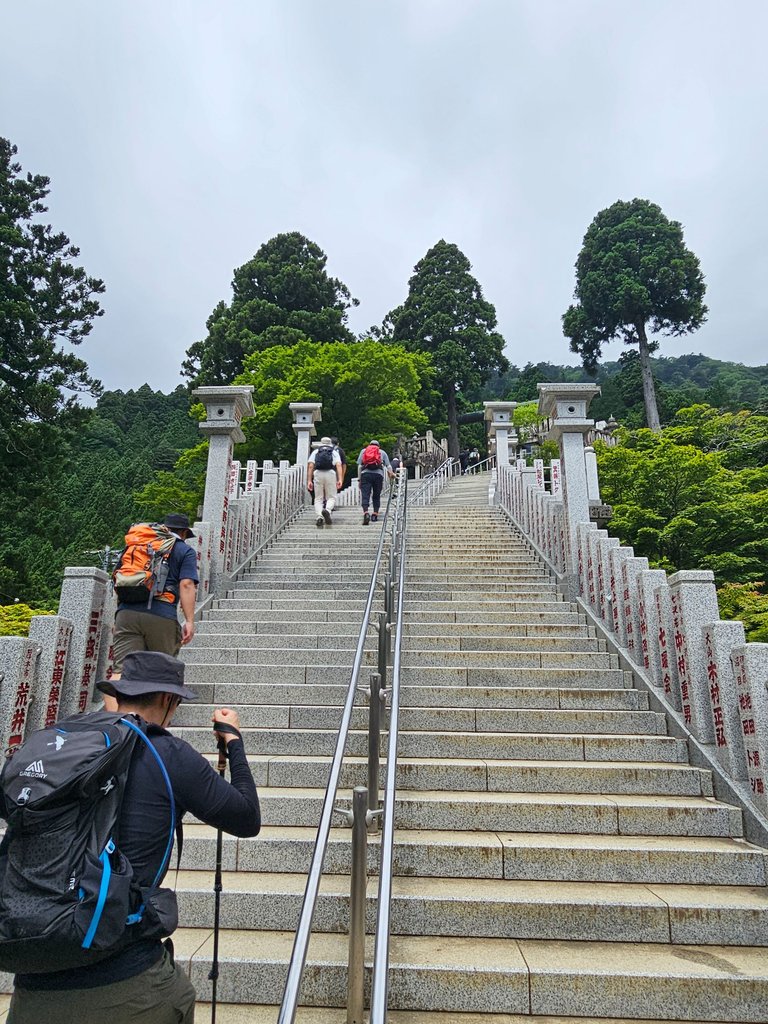
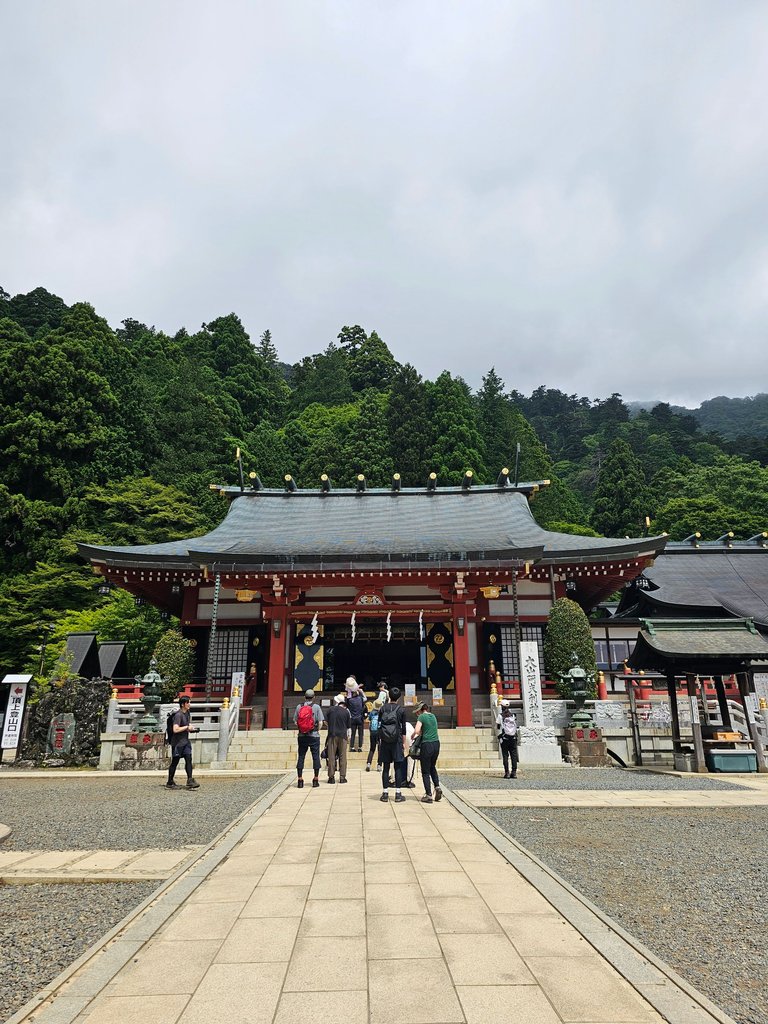
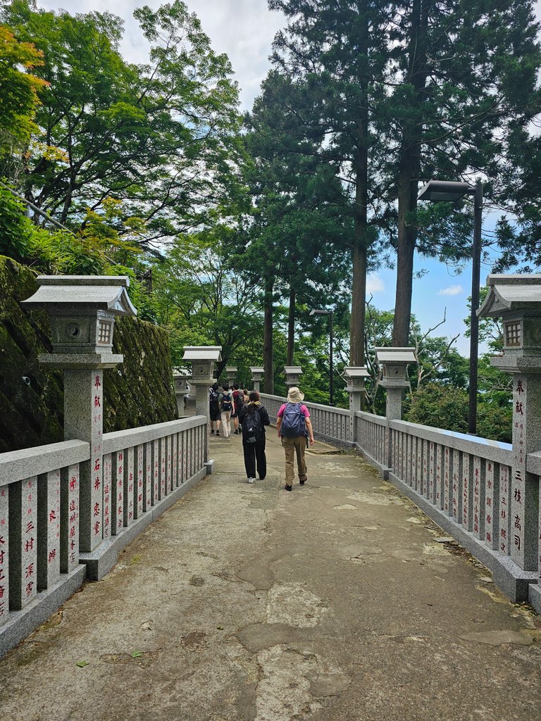
i initially thought that the path to the mountain peak would not take this path to the shrine itself. i was dreading the steps up, but there really was no choice. it was a long way up indeed and that led us to an opening with the shrine building at the far end.
the oyama afuri shrine was said to have been founded 2200 years ago.
Also known as "Amemuri-yama" because of the clouds and fog that often appeared on the mountain, has been a place for praying for rain and a bountiful harvest. Mt.Oyama has a long history of mountain worship. source
let us remember that line for now.

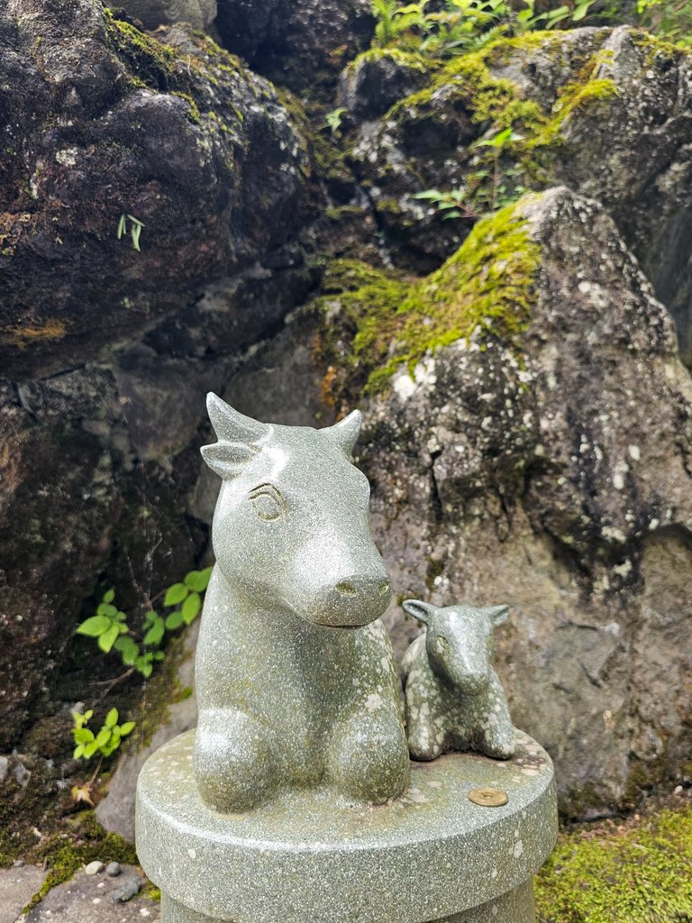
at one part of the shrine grounds was this installation with the twelve signs of the chinese zodiac lined around it. of course i had to take a closer picture of my sign, the ever faithful and hardworking ox.
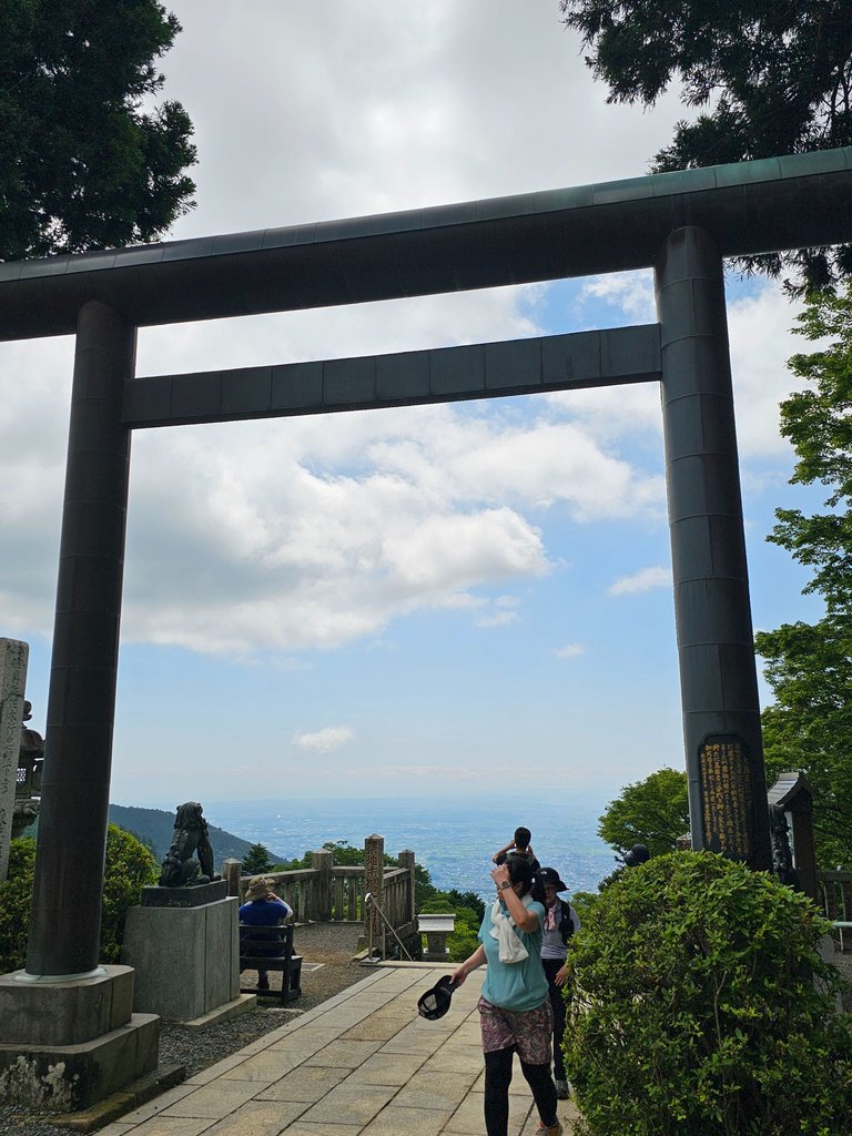
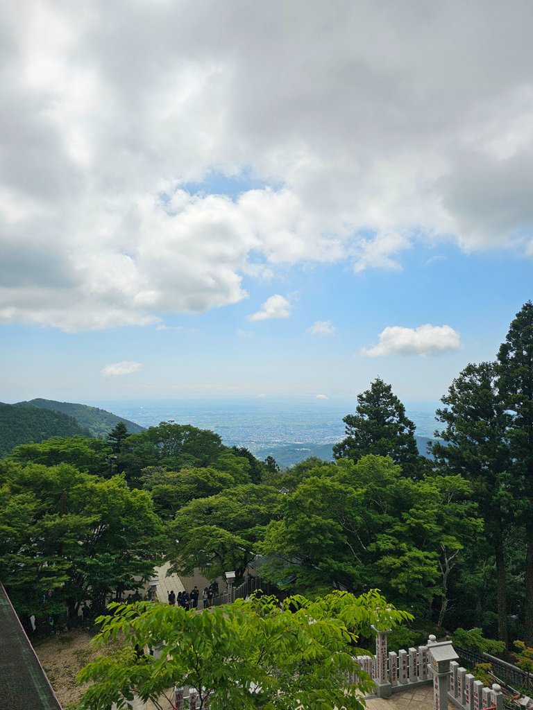
here is the view from up the shrine grounds, we are already pretty high up at over 700 meters above ground.
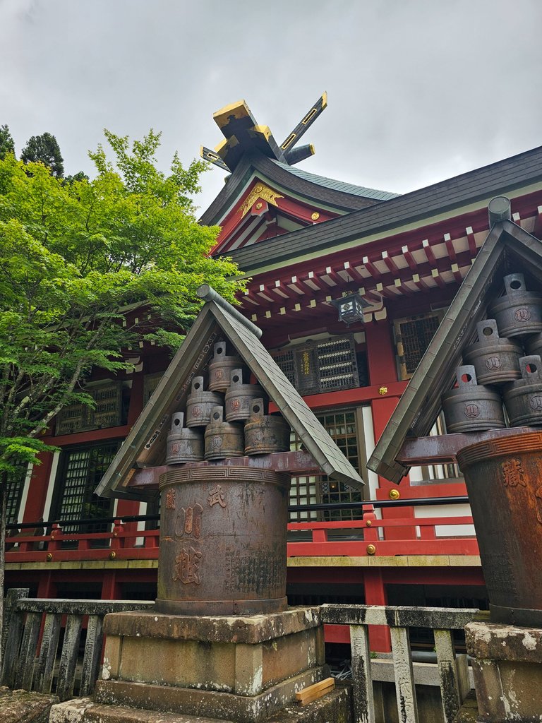
here is how the main hall of the shrine looks like at the sides. and this was the end of the happy part.
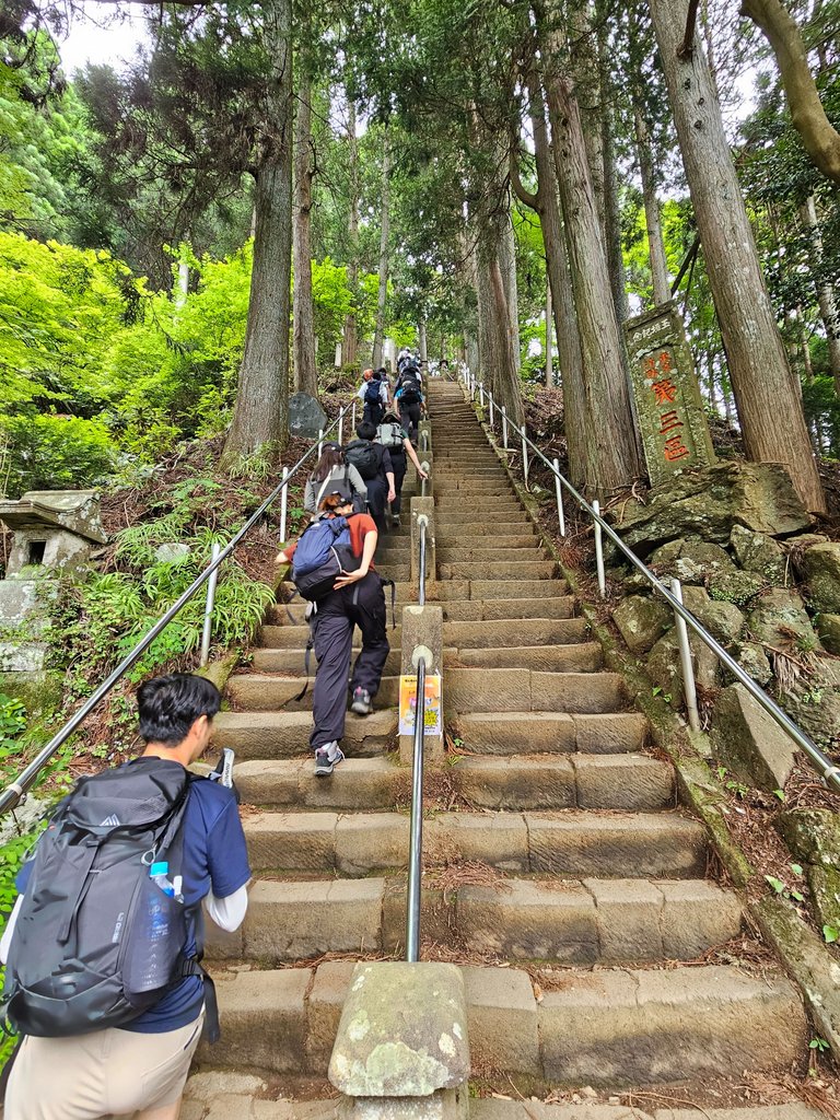
this is the start of the mountain trail toward the peak. i was not ready for more stairs, and these were quite steep with handles quite close to the ground. one wrong step would be a disaster to all the people below.
let me end the first part of the hike at this point.
part 2 will be posted soon.
as always, AMPING KANUNAY!

all content is by yours truly unless otherwise specified
all photos are taken with a galaxy s23 ultra

This report was published via Actifit app (Android | iOS). Check out the original version here on actifit.io


Height168.0 cm |  | Weight73.0 kg |  | Body Fat% |  |
Waistcm |  | Thighscm |  | Chestcm |  |


You can check out this post and your own profile on the map. Be part of the Worldmappin Community and join our Discord Channel to get in touch with other travelers, ask questions or just be updated on our latest features.
thank you! it's an honor
Congratulations, your post has been added to the TravelFeed Map! 🎉🥳🌴
Did you know you have your own profile map?
And every post has their own map too!
Want to have your post on the map too?
- Go to TravelFeed Map
- Click the create pin button
- Drag the marker to where your post should be. Zoom in if needed or use the search bar (top right).
- Copy and paste the generated code in your post (any Hive frontend)
- Or login with Hive Keychain or Hivesigner and click "create post" to post to Hive directly from TravelFeed
- Congrats, your post is now on the map!
PS: You can import your previous Pinmapple posts to the TravelFeed map.Opt Out
Welcome to 23rd season of POLIAC. It is 2025 Summer Edition.

Witam w 23. sezonie POLIAC, to jest 2025 Letnia Edycja
Paturo po mag climb ng mountain.
nako si @wittyzell magaling dyan
luhhh damay pa ako
Hiya, @ybanezkim26 here, just swinging by to let you know that this post made it into our Honorable Mentions in Travel Digest #2599.
Your post has been manually curated by the @worldmappin team. If you like what we're doing, please drop by to check out all the rest of today's great posts and consider supporting other authors like yourself and us so we can keep the project going!
Become part of our travel community:
kadaghan stairssss omg
yeah. very many
grabe gyud
What a workout my friend!😅
So many stairs to climb, that’s the best exercise, and such a beautiful place!👍😊
and we are not up in the foresty mountains yet.
Wow…… Sounds like a great hiking adventure, my friend!👍🤗😊
Congrats on providing Proof of Activity via your Actifit report!
As your total AFIT balance across chains is below 5,000 tokens, you are still not eligible for AFIT rewards. You can buy some AFIT tokens on hive-engine, pancakeswap, digifinex or dex-trade.
You received rewards as 0.97% upvote via @actifit account.
Rewards Details
AFIT rewards and upvotes are based on your:
To improve your user rank, delegate more, pile up more AFIT and AFITX tokens, and post more.

To improve your post score, get to the max activity count, work on improving your post content, improve your user rank, engage with the community to get more upvotes and quality comments.
Chat with us on discord | Visit our website
Follow us on Twitter | Join us on Telegram
Download on playstore | Download on app store
Knowledge base:

FAQs | Whitepaper
How to signup | Maximize your rewards
Complete Actifit Tutorial
Support our efforts below by voting for:
Congratulations @itz.inno! You have completed the following achievement on the Hive blockchain And have been rewarded with New badge(s)
Your next target is to reach 43000 upvotes.
You can view your badges on your board and compare yourself to others in the Ranking
If you no longer want to receive notifications, reply to this comment with the word
STOPCongratulations @itz.inno! You received the biggest smile and some love from TravelFeed! Keep up the amazing blog. 😍 Your post was also chosen as top pick of the day and is now featured on the TravelFeed front page.
Thanks for using TravelFeed!
@for91days (TravelFeed team)
PS: Did you know that we have our own Hive frontend at TravelFeed.com? For your next travel post, log in to TravelFeed with Hive Keychain or Hivesigner and take advantage of our exclusive features for travel bloggers.