Hayıtlı Lake Rock Shelter / Hayıtlı Göl Kaya Sığınağı ( EN-TR )
Greetings,
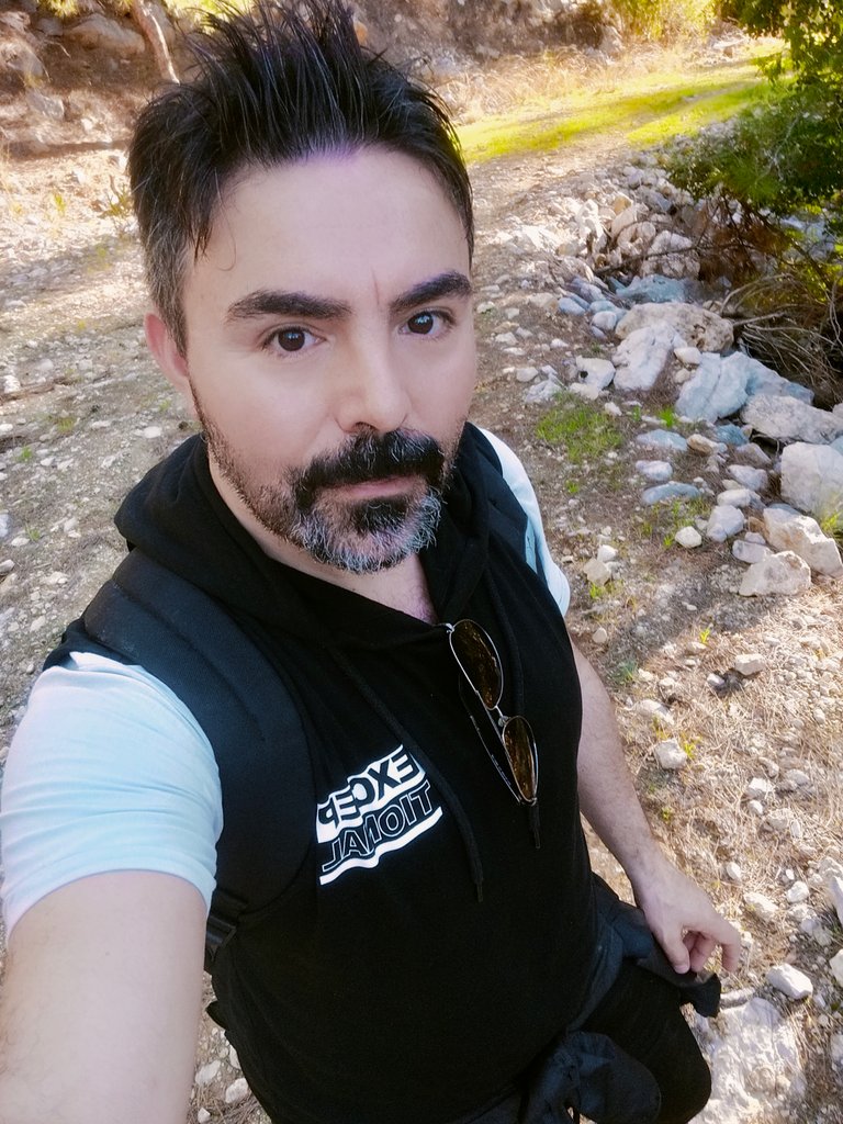
I would stand in front of the camera and say, “Dear hikers, we are on a trek with a group of mountaineers towards the Hayıtlı Göl Rock Shelter in Beldibi”. We set out to explore this region where history's contentious battles took place. We gathered at the rocky hill about 2000 meters from sea level in the early hours of the morning and started walking. I would have loved to explore the nature with my teammates I would take with me by making such an organization. For now, I am leaving my house to walk alone to the Hayıtlı Lake Rock Shelter I mentioned by writing it on the side of my dreams and taking it into my plans. This region is located in the Bey Mountains Coastal Park.
Selamlar,
Kameranın karşısına geçip “Sevgili yürüyüşçüler, bir grup dağcı ile Beldibi'ndeki Hayıtlı Göl Kaya Sığınağı'na doğru bir yürüyüşe çıkıyoruz” derdim. Tarihin çekişmeli savaşlarının yaşandığı bu bölgeyi keşfetmek için yola çıktık. Sabahın erken saatlerinde deniz seviyesinden yaklaşık 2000 metre yükseklikteki kayalık tepede toplandık ve yürümeye başladık. Böyle bir organizasyon yaparak yanıma alacağım ekip arkadaşlarımla doğayı keşfetmeyi çok isterdim. Şimdilik hayallerimin bir kenarına yazarak bahsettiğim Hayıtlı Göl Kaya Barınağı'na tek başıma yürümek ve planlarımın içine almak için evimden çıkıyorum. Bu bölge Beydağları Sahil Parkı içerisinde yer alıyor.
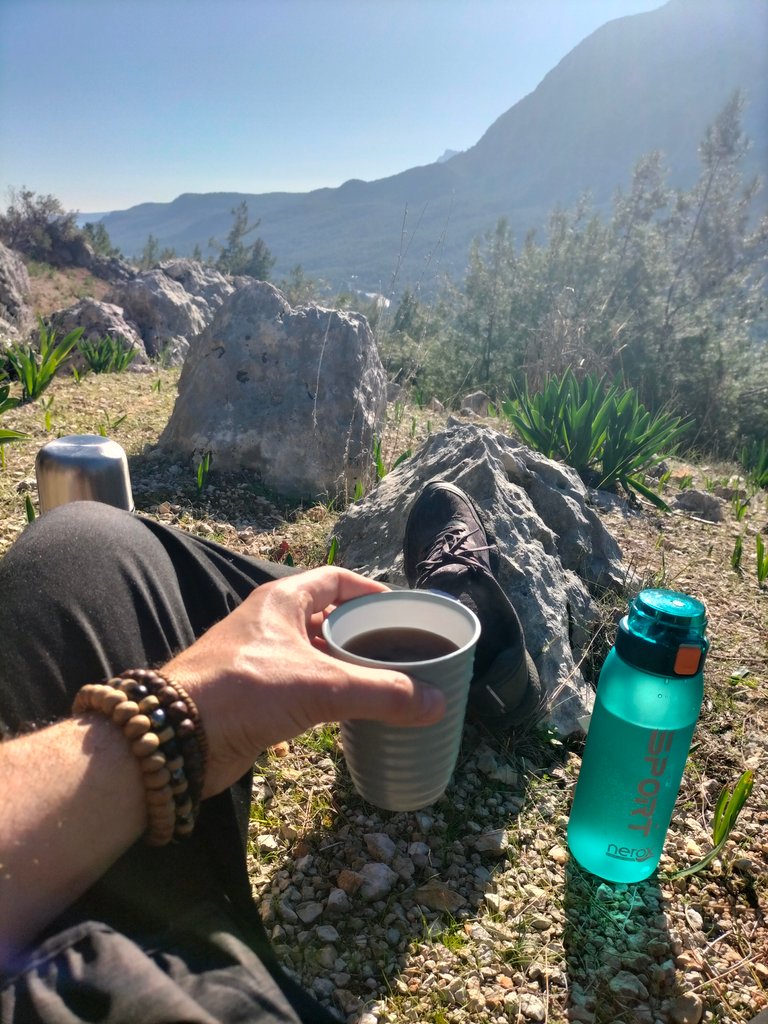
Beldibi holiday resort, which is located in Kemer district of Antalya province, is one of the places I often visit and visit. In addition to having a beautiful beach, it also has a lush forest spread over a very large area with valleys, pathways and high steep cliffs. For the first time I will walk to the Hayıtlı Rock shelter in the forest area of the town, which is mostly composed of pine trees. I will also discover the Beydağları Coastal National Park for the first time. Come join me. With our high energy, I will release our bodies into the forest.
Antalya ilinin Kemer ilçesinde bulunan Beldibi tatil beldesi sık sık ziyaret ettiğim ve gezdiğim yerlerden biridir. Güzel bir plaja sahip olmasının yanı sıra vadileri, patika yolları ve yüksek sarp kayalıkları ile oldukça geniş bir alana yayılmış yemyeşil bir ormana da sahiptir. Çoğunluğu çam ağaçlarından oluşan kasabanın ormanlık alanındaki Hayıtlı Kaya barınağına ilk kez yürüyeceğim. Ayrıca Beydağları Sahil Milli Parkı'nı da ilk kez keşfedeceğim. Gelin bana katılın. Yüksek enerjimizle bedenlerimizi ormana salacağım.
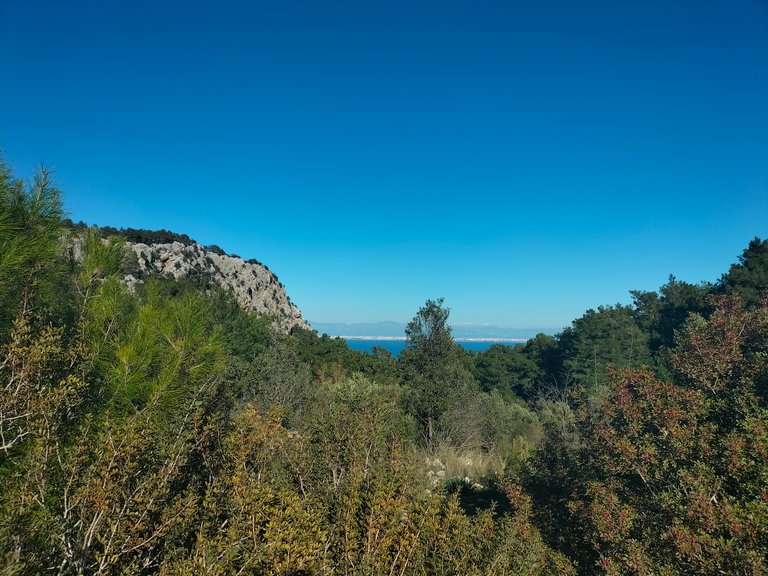
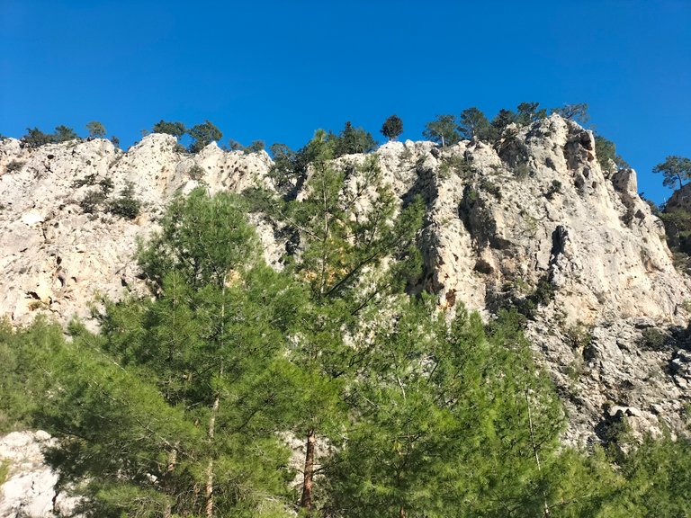
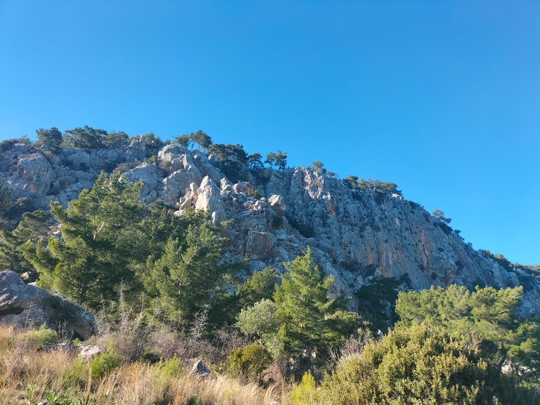
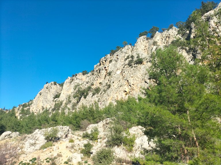
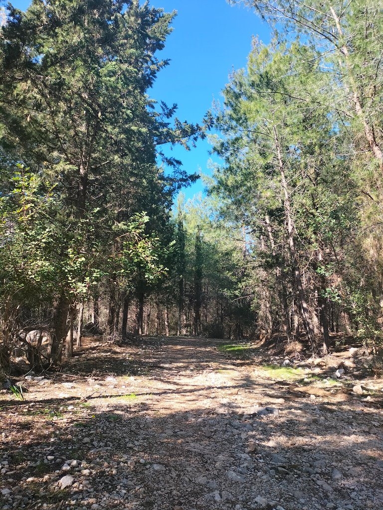
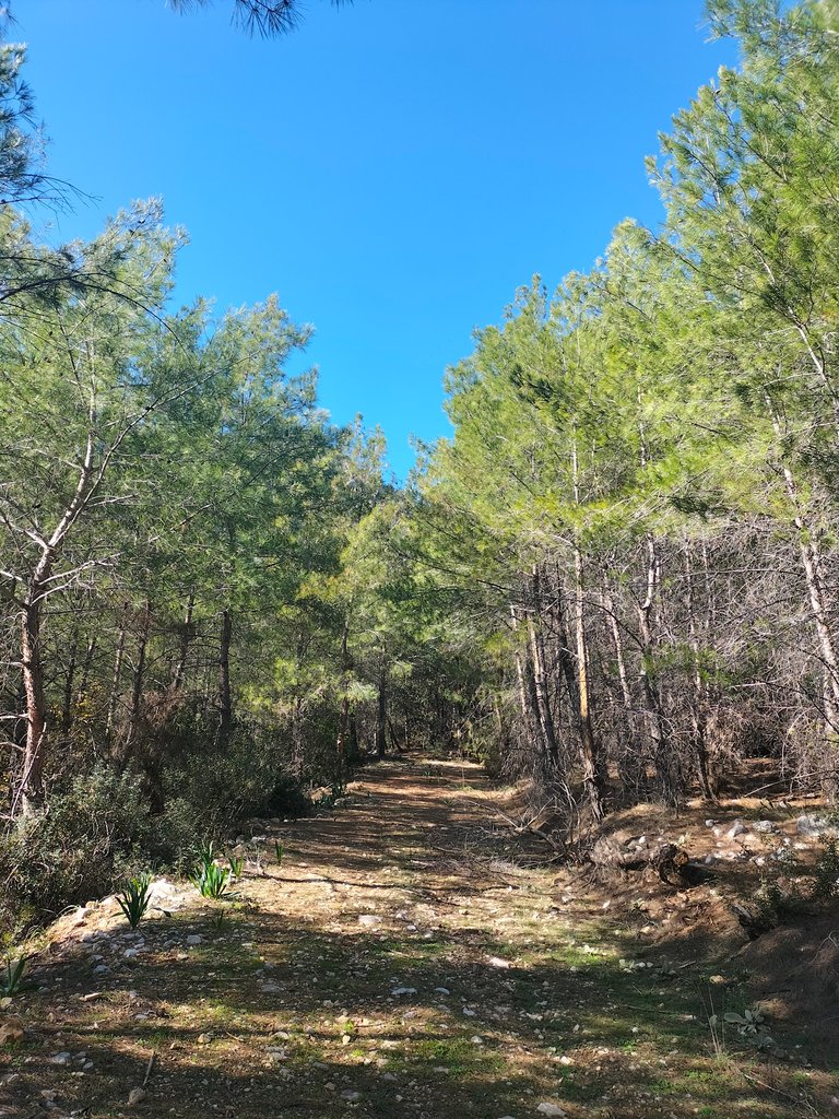
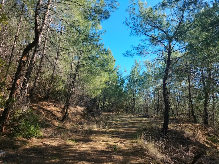
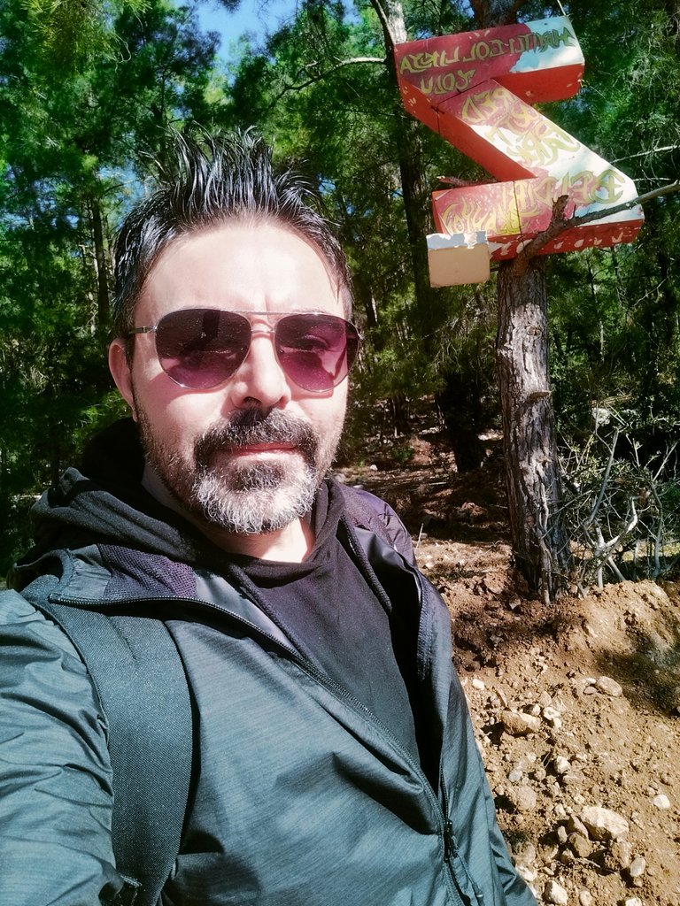
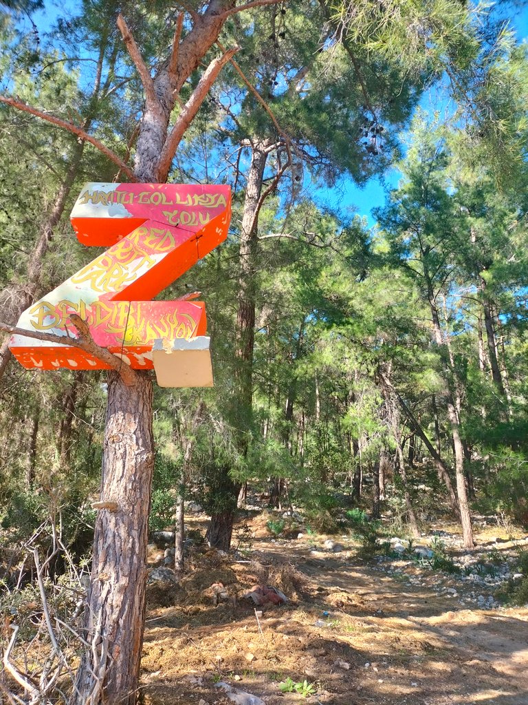
After about half an hour's journey from Antalya city center, I arrive at Beldibi village and reach the point where I will hike. I start walking on a dirt road made of large and small rock stones and tree branches from the side of the asphalt road. Here, a Z-shaped sign made of metal plating glued to the trunk of the tree, pointing to the hill, marks my way. From here you can also go to the beginning of the Lycian Way. At the junctions I will show you in a moment, you will see that several roads lead to different areas.
Antalya şehir merkezinden yaklaşık yarım saat süren yolcukluktan sonra, Beldibi köyüne gelip, yürüyüş yapacağım noktaya varıyorum. Asfalt yolun kenarından büyük küçük kaya taşları ile ağaç dalarının kırıntılarından oluşan topraklı yoldan yürüyüşe başlıyorum. Burada tepeyi gösteren ve ağacın gövdesine yapıştırılan metal kaplamadan yapılmış Z şeklinde tabela yolumu işaret ediyor. Buradan aynı zamanda Likya yolunun başlangıcına da gidebiliyorsunuz. Birazdan göstereceğim yol ayrımlarında zaten birkaç yolun farklı alanlara gittiğini göreceksiniz.
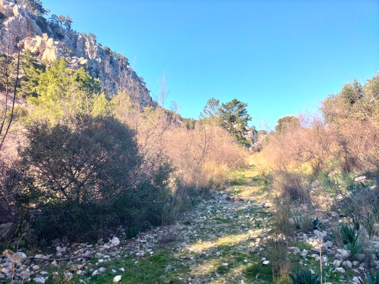
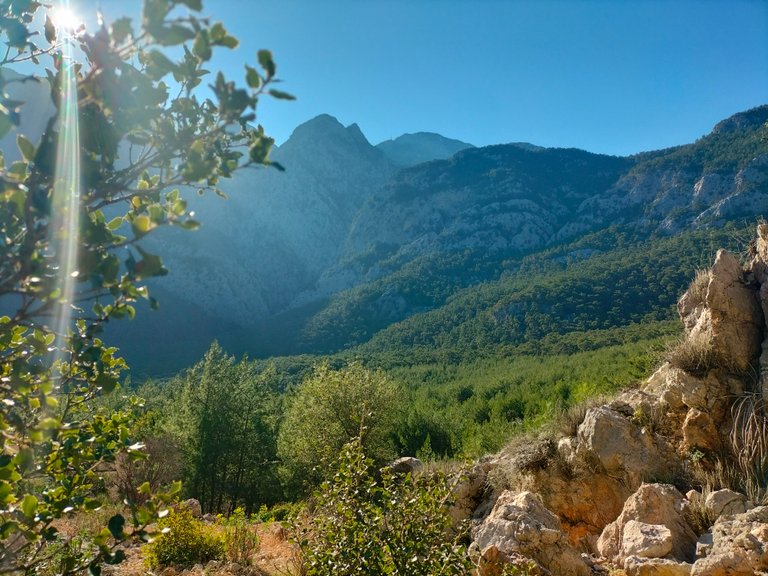
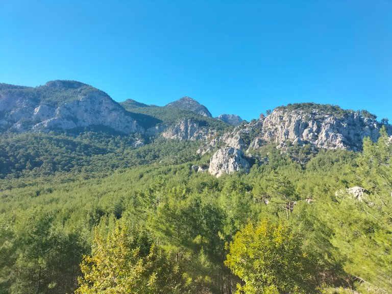
It is sunny in Antalya today. Although we are in winter, I can feel the warmth. The Bey Mountains are located on the western side of the Taurus Mountains, within the borders of Antalya. There are several road routes leading to the hill. On the way to the hill, the maquis vegetation, which is common in the Mediterranean climate, is also common here. During the walk, I encounter myrtle and laurel flowers surrounded by shrubs and low trees.
Bugün Antalya'da hava güneşli. Kış mevsiminde olmamıza rağmen sıcaklığı hissedebiliyorum. Bey Dağları, Toros Dağları'nın batı yakasında, Antalya sınırları içinde yer alıyor. Tepeye çıkan birkaç yol güzergâhı var. Tepeye giderken Akdeniz ikliminde yaygın olan maki bitki örtüsü burada da yaygın. Yürüyüş sırasında çalılar ve alçak ağaçlarla çevrili mersin ve defne çiçekleriyle karşılaşıyorum.
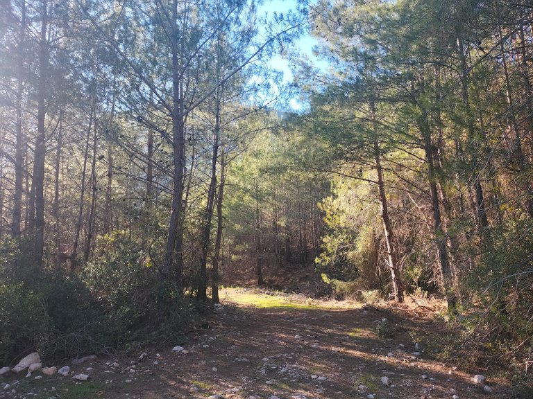
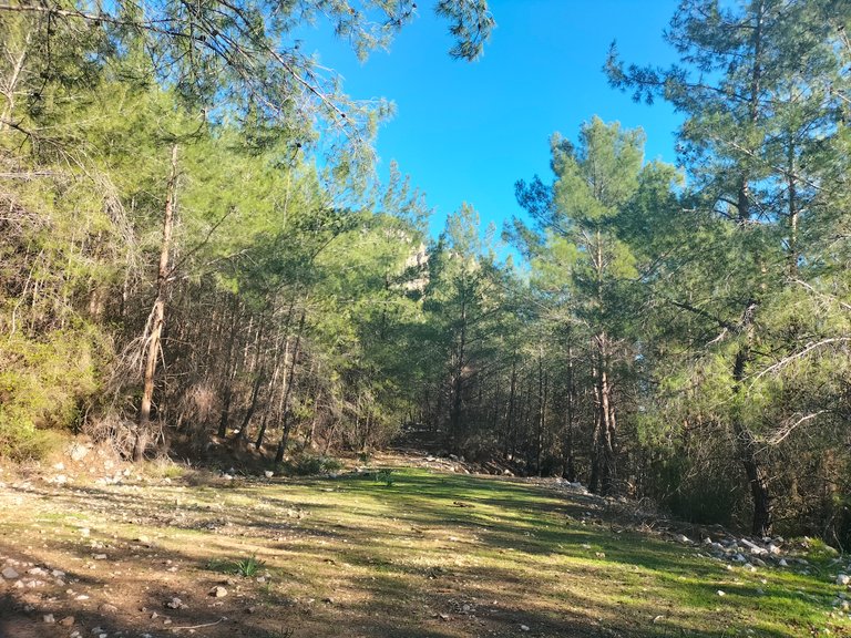
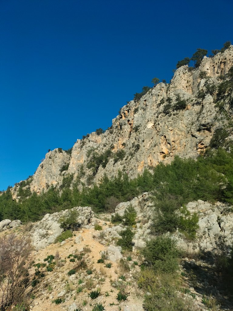
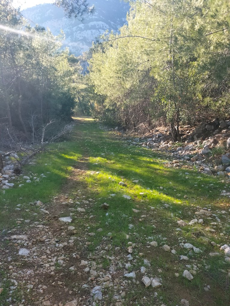
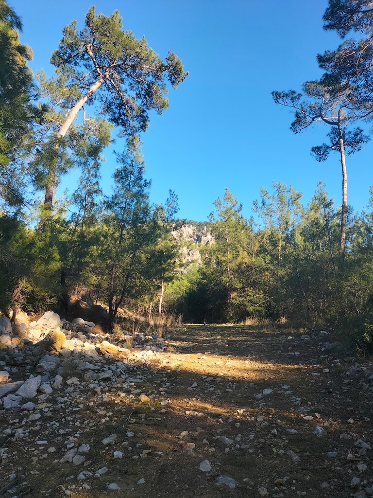
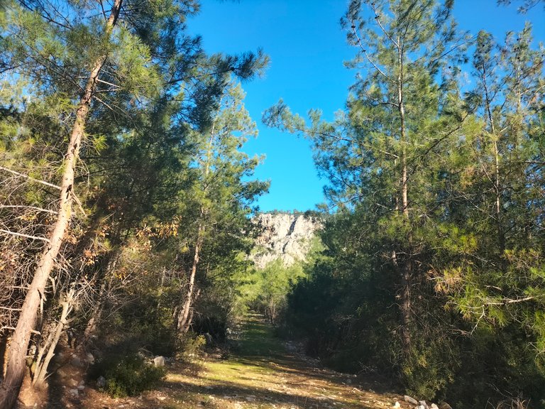
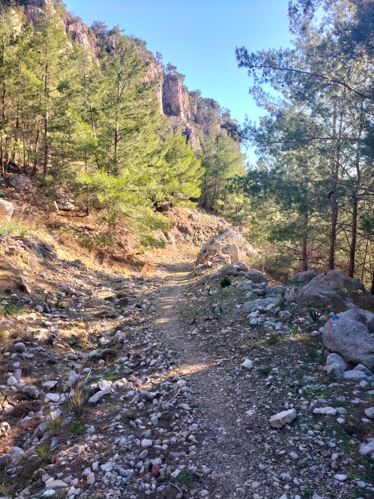
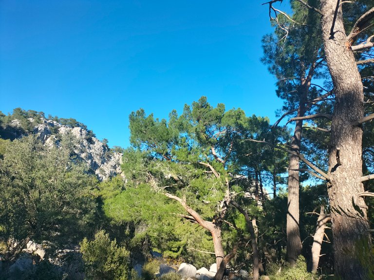
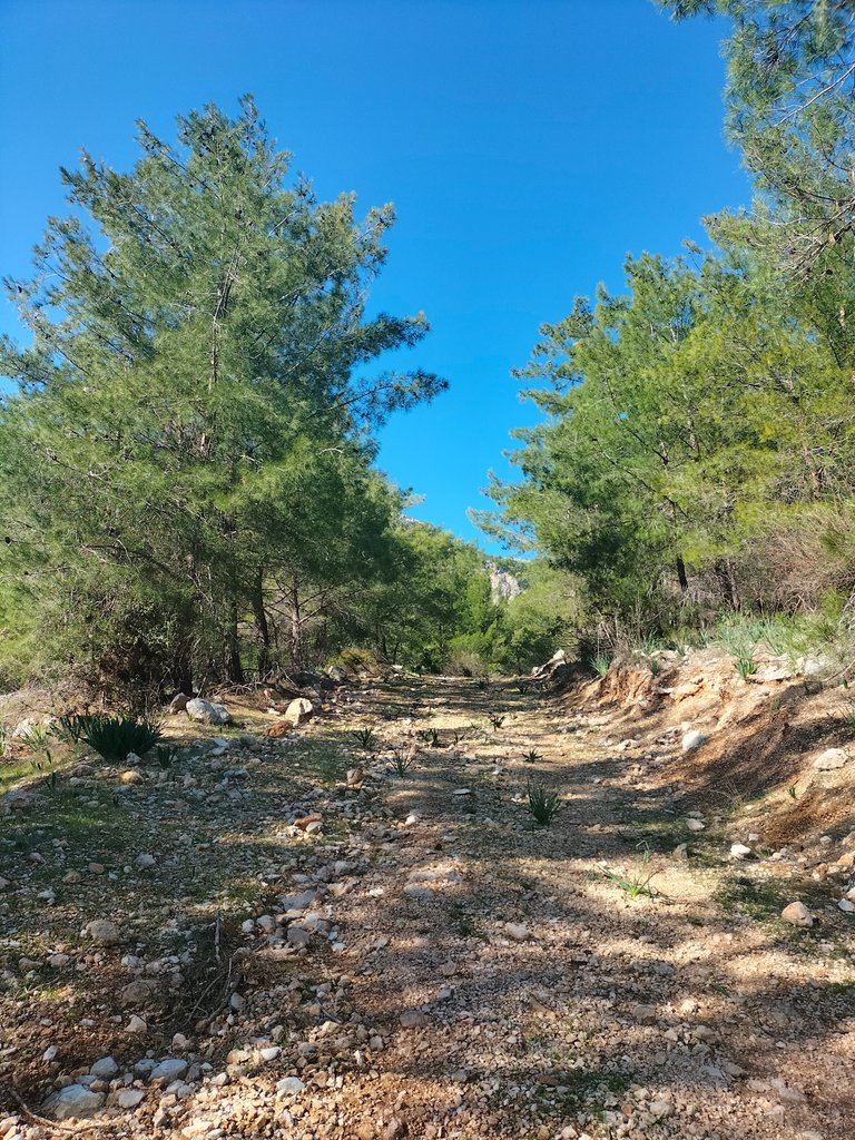
Among the small pieces of stone sticking to the soil, I follow the path under the supervision of the pine trees on my left and right. Looking at the dirt tracks, I can see that goats and horses, which I would never have guessed, have passed through here. I try to reach the hill by feeling the warmth of the sun shining through the cones falling from the branches of the pine trees that shade the road.
Toprağa yapışmış küçük taş parçaları arasında, sağımdaki ve solumdaki çam ağaçlarının gözetiminde patikayı takip ediyorum. Toprak izlere bakınca hiç tahmin edemeyeceğim keçilerin ve atların buradan geçtiğini görebiliyorum. Yolu gölgeleyen çam ağaçlarının dallarından düşen kozalakların arasından parlayan güneşin sıcaklığını hissederek tepeye ulaşmaya çalışıyorum.
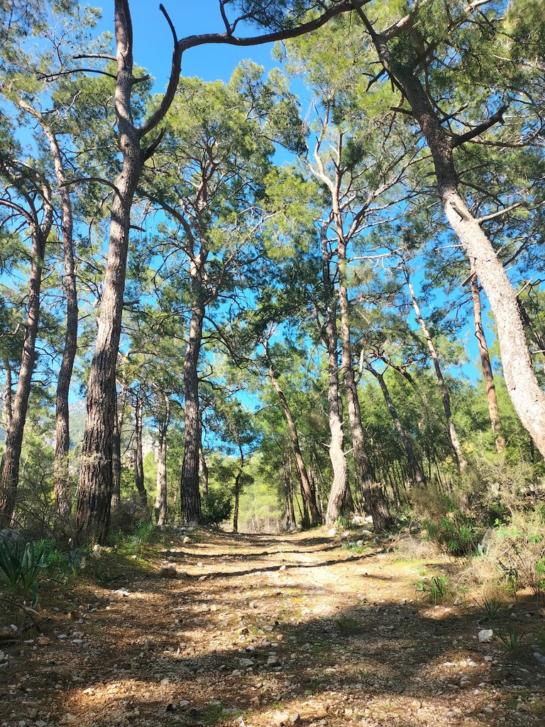
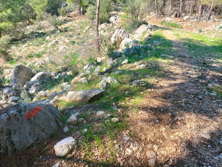
When this hiking trail was first discovered, there were almost no trail routes. After it was discovered by everyone, it started to be forgotten. Especially groups who wanted to walk on the Lycian Way had to pass through this region. It is very strange that there is no one around on such a sunny Sunday.
Bu yürüyüş parkuru ilk keşfedildiğinde neredeyse hiç patika rotası yoktu. Herkes tarafından keşfedildikten sonra ise unutulmaya başlandı. Özellikle Likya Yolu'nda yürümek isteyen gruplar bu bölgeden geçmek zorunda kalmışlar. Böyle güneşli bir Pazar günü etrafta kimsenin olmaması çok garip.
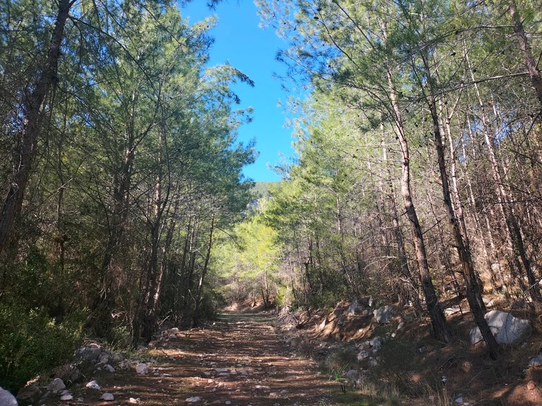
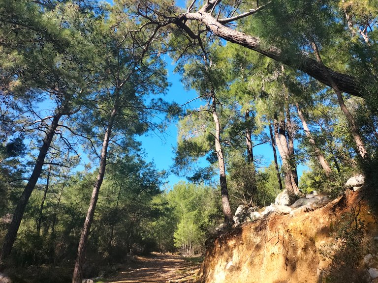
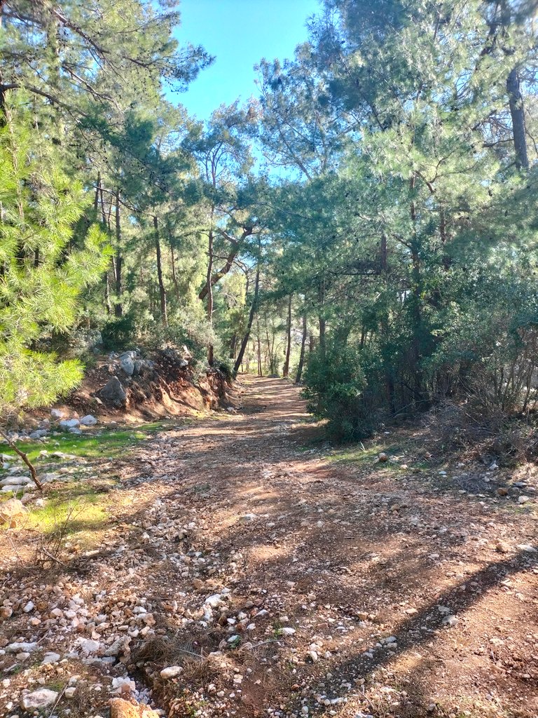
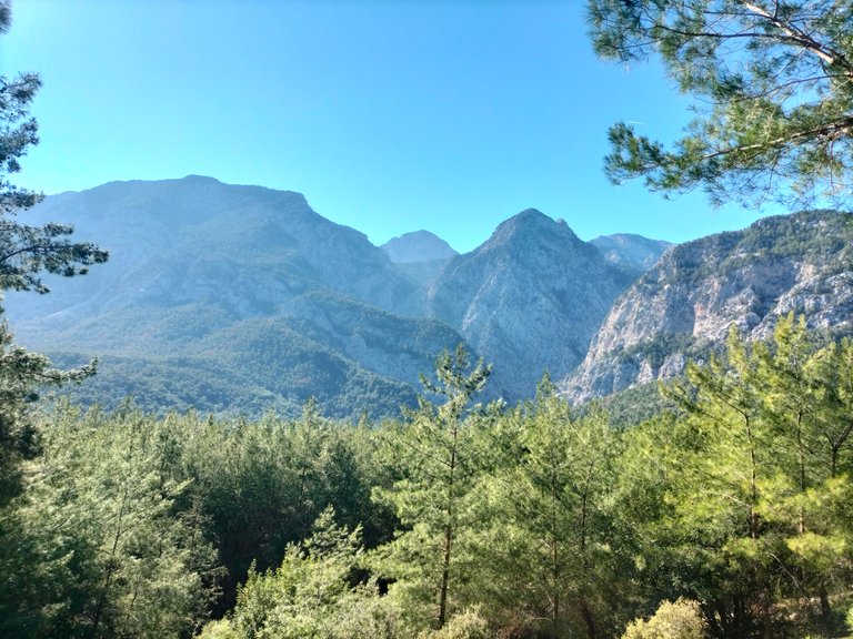
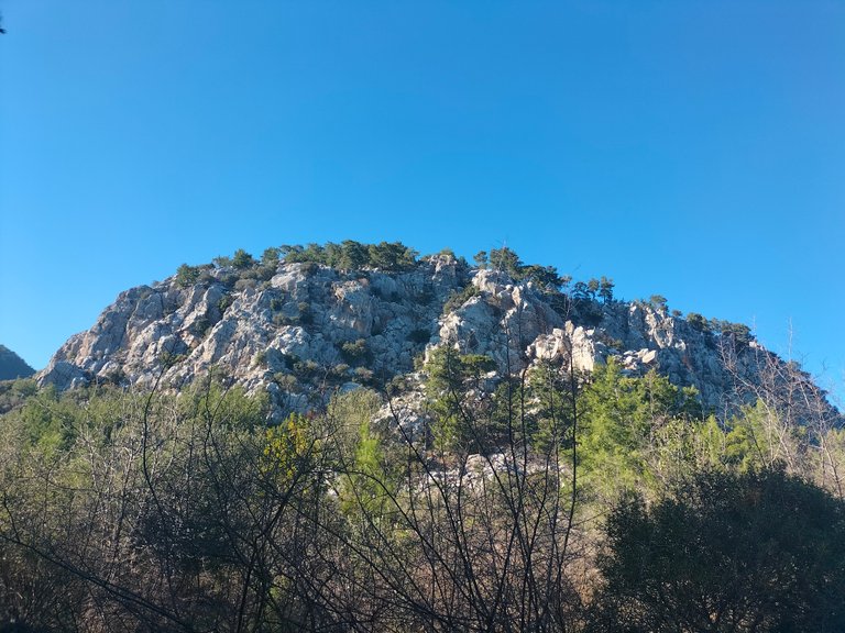
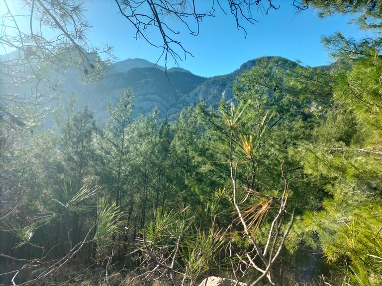
At points where pine trees are sparse, as I approach the hill, I can see the wide extension of the Bey Mountains painted in green. The highest point here is known as Kızlar Sivrisi. Everyone who reaches the top or all nature groups take a break in this area and watch the magnificent view of the sea from the eastern side of the Gulf of Antalya.
Çam ağaçlarının seyrek olduğu noktalarda tepeye yaklaştıkça Bey Dağlarının yeşile boyanmış geniş uzantısını görebiliyorum. Buranın en yüksek noktası, Kızlar Sivrisi olarak geçiyor. Tepeye ulaşan herkes ya da tüm doğa grupları bu bölgede mola vererek, Antalya Körfezinin doğu yakasından denizin muhteşem manzarasını izliyor.
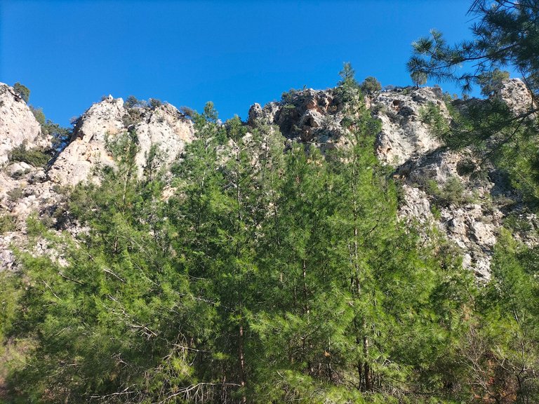
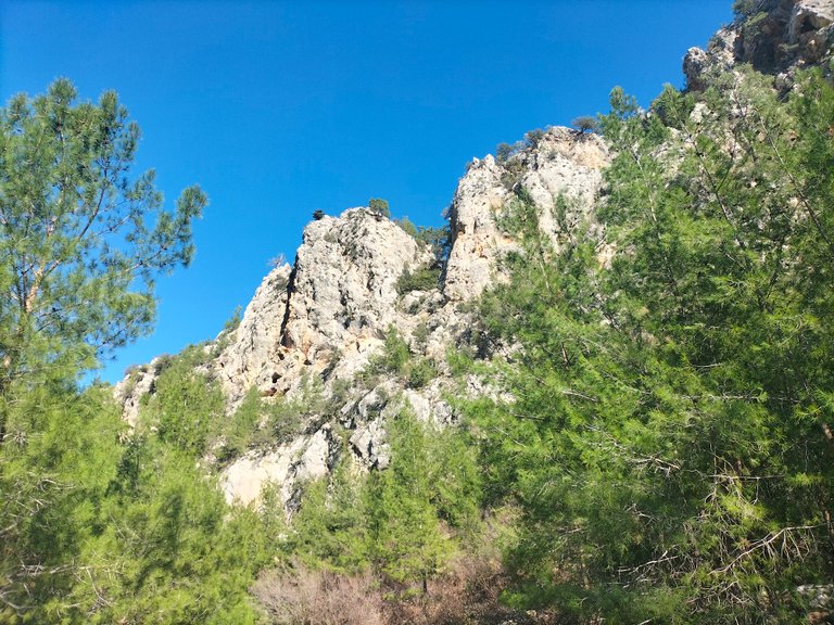
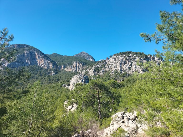
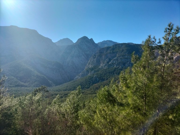
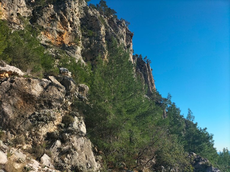
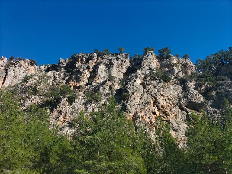
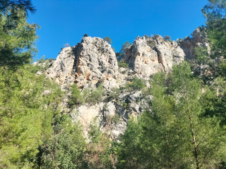
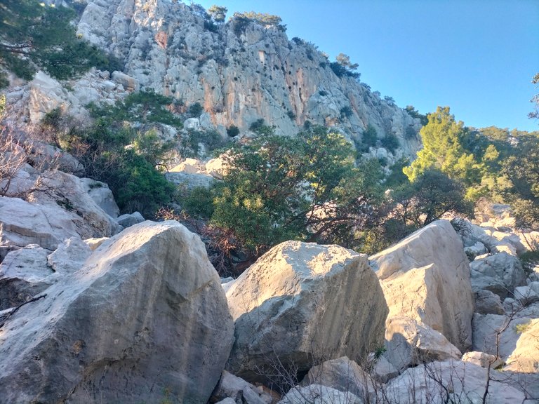
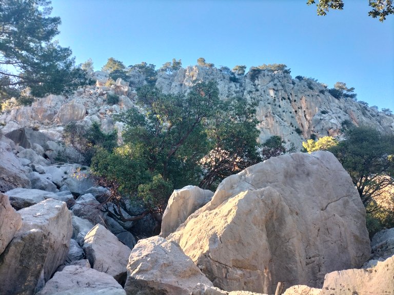
As I move up the hill, I come across pine and mixed forests. In some parts, I see that the soil has split into two and there are difficulties in crossing. The soil has rolled into the cliff and taken the appearance of a valley. Large pieces of rocks separated from the soil are scattered on the road.
Tepeye ilerledikçe, çam ve karışık ağaçlı ormanlar ile karşılaşıyorum. Bazı bölümlerde toprak parçasının ikiye ayrılıp, geçiş zorluklarının olduğunu görüyorum. Toprak uçuruma yuvarlanarak vadi görünümü almış. Topraktan ayrılan büyük kaya parçaları yola savrulmuş.
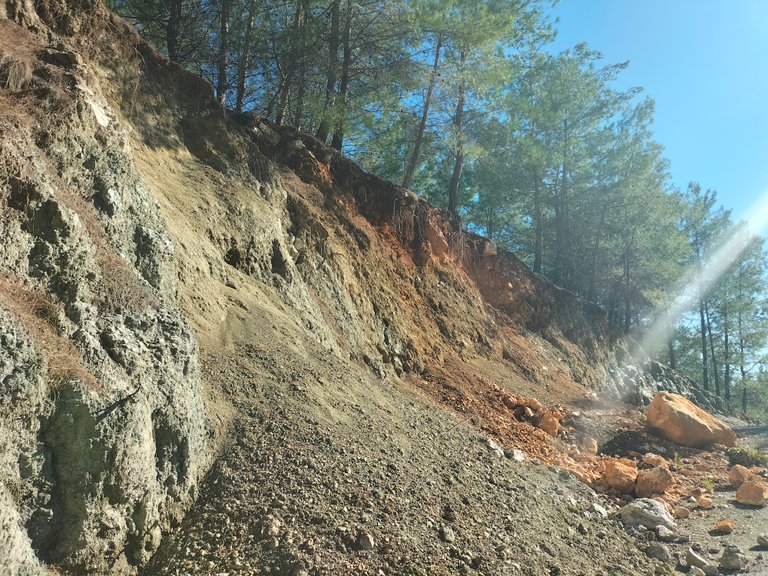
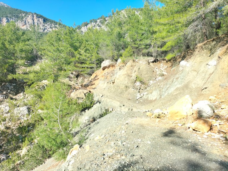
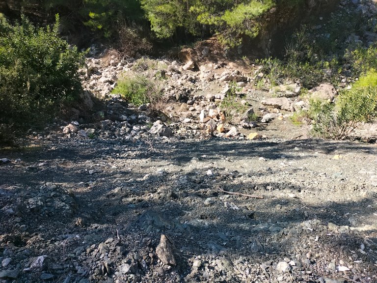
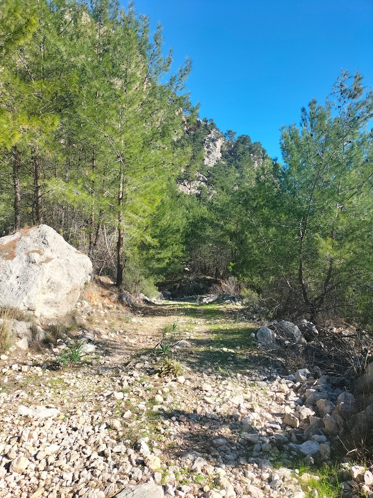

When I was walking on these wide dirt and stone roads, puddles of water would come between the rocks falling from the hills. Now I see that they have all dried up. The rocks themselves and their fragments remain.
Bu topraklı taşlı geniş yollarda yürürken, tepelerden düşen kaya parçalarının arasından su birikintileri geliyordu. Şimdi bakıyorum hepsi kurumuşlar. Kayaların kendisi ve parçalanmış halleri kalmış.
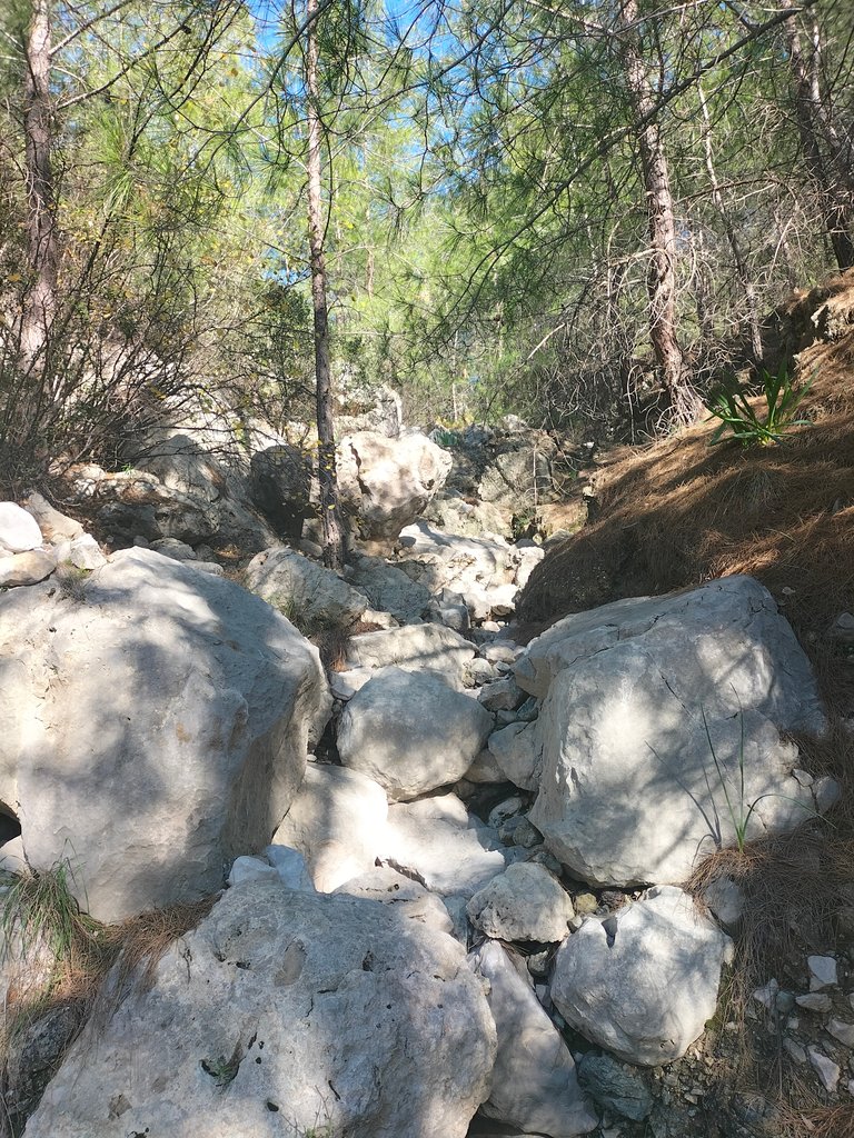
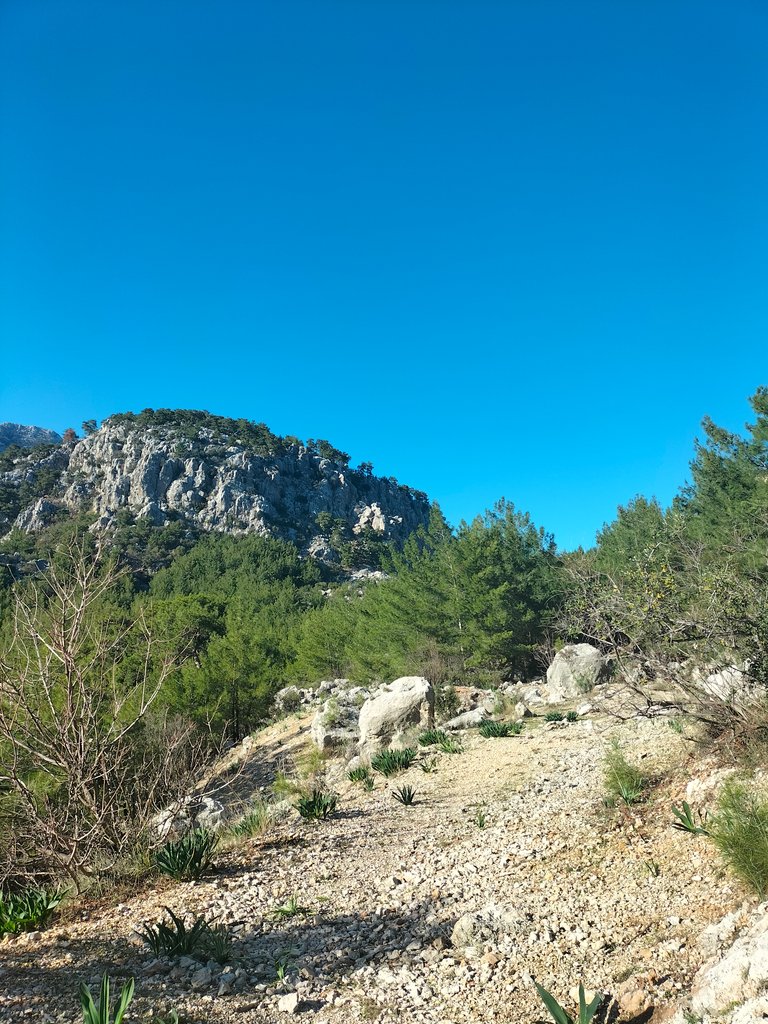
The road I'm hiking on now runs north and south parallel to the coast, and stops at a point about an hour away. The Bey Mountains here and the Taurus Mountains across the Taurus Mountains, with their proximity to the sea and the historical ruins hidden in the foothills, form one of the most striking corners of the Mediterranean.
Şu anda yürüyüş yaptığım yol, sahile paralel şekilde kuzey ve güney doğrultusunda uzanarak, yaklaşık bir saat uzaklıkta görünen noktada kalıyor. Buradaki Bey Dağları ve karşısındaki Toroslar, denize olan yakınlığı ve dağın eteklerinde sakladığı tarihi kalıntılarıyla, Akdeniz'in en çarpıcı köşelerinden birini oluşturuyor.
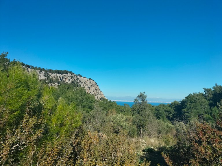
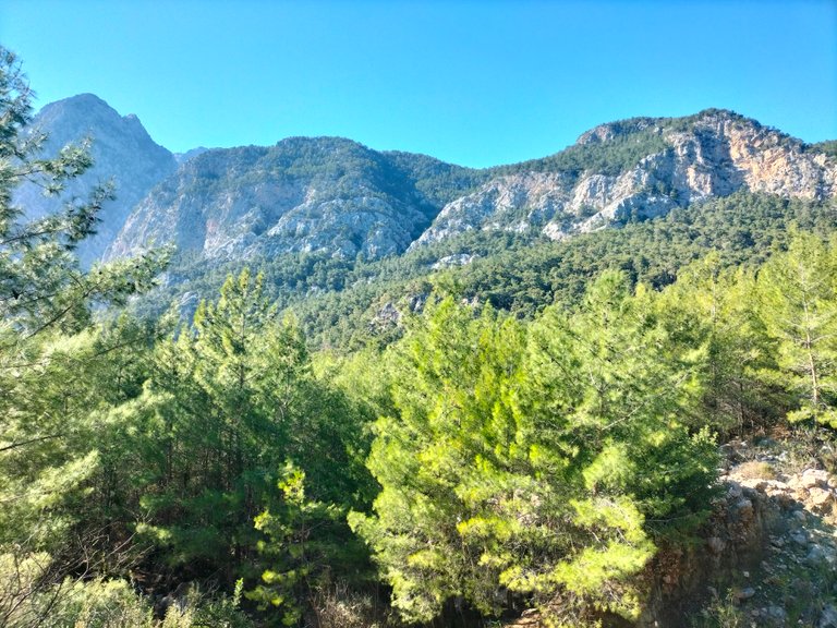
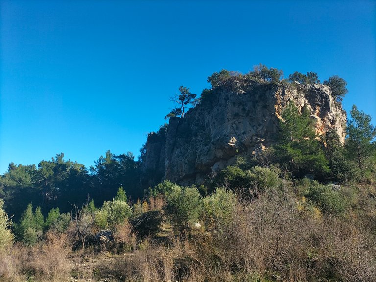

In this region, the puddles I mentioned earlier used to flow from the mountain tops in the form of streams. Due to the narrow valleys formed by the rivers and the effect of the heavy rainwater in the region, the Bey Mountains appear to be trotted when viewed from a distance. These coastal mountains, which are integrated with the Mediterranean region, offer us unparalleled views and resemble an untouched piece of nature.
Bu bölgede ayrıca bahsettiğim su birikintileri çok önceden bir akarsu şeklinde dağın tepelerinden akardı. Akarsuların oluşturduğu dar vadilerle bölgede yaşanan yoğun yağmur sularının etkisiyle, Bey Dağları uzaktan bakıldığında paçalı olarak görünüyor. Akdeniz bölgesiyle bütünleşen bu kıyı şeritli dağlar, bizlere benzeresiz manzaralar sunarak, sanki el değmemiş bir doğa parçasını andırıyor.
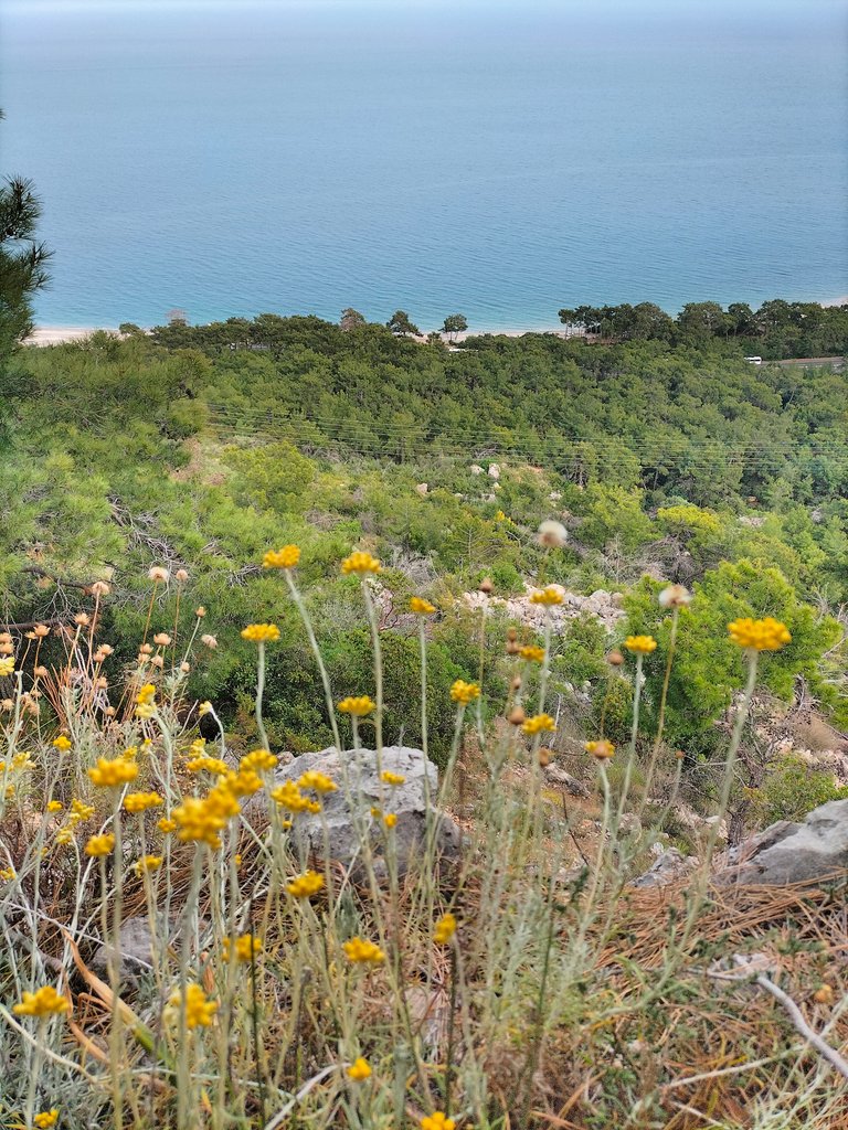
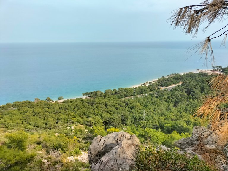
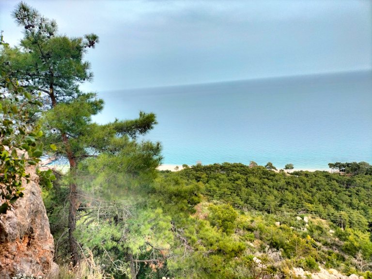
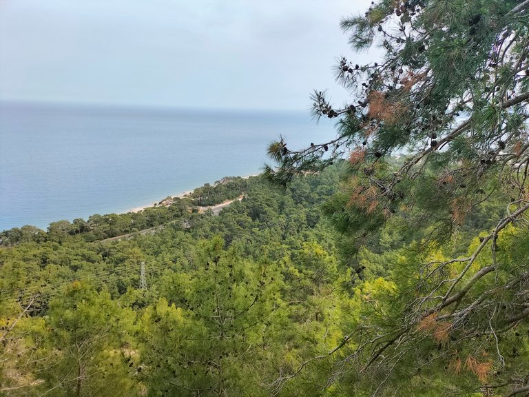
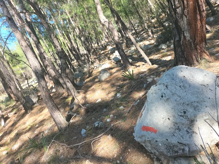
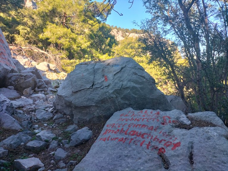
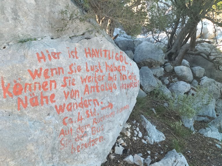
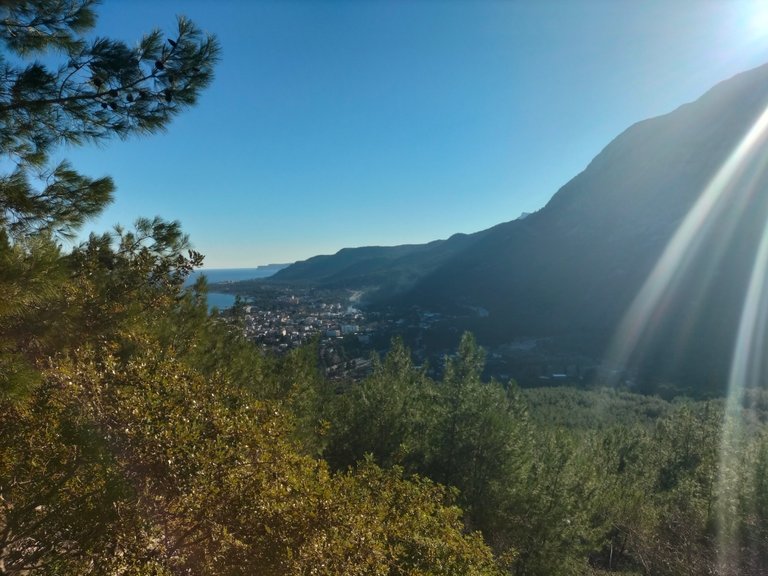
Looking back from a high hill through the bushes, you can see the sea as far as you can see. As I walk, I am accompanied by large rocks scattered around in different shades of green. Thick colored road signs are drawn on the stones. Some of the large rocks even have the name of the hill written on them in foreign languages and information about the road experiences. We can also understand that foreign tourists pass through here.
Geriye dönüp, çalıların arasından yüksek bir tepeden baktığımda, önünüz alabildiğine denize bakıyor. İlerledikçe, yeşilin farklı tonları ile etrafa savrulan büyük kaya parçaları eşliğinde yürüyorum. Taşların üzerlerinde kalın renkli yol işaretleri çizilmiş. Hatta bazı büyük kaya parçalarının üzerine yabancı diller yazılmış tepenin adı ve yol deneyimleri ile ilgili bilgiler paylaşılmış. Buralardan yabancı turislerin geçtiğini de anlayabiliyoruz.
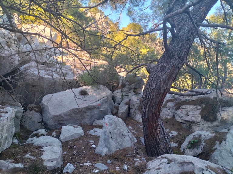
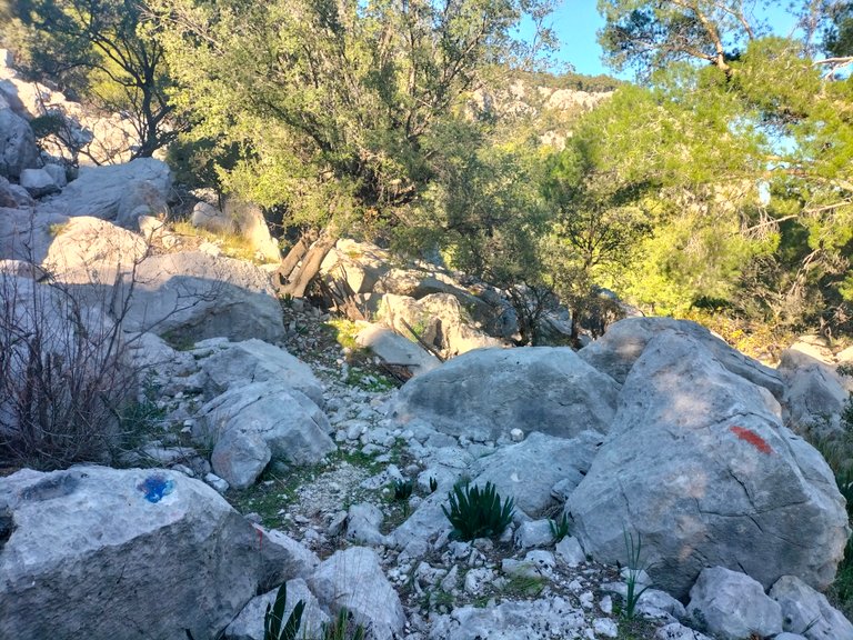
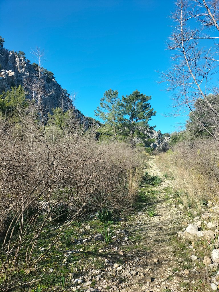
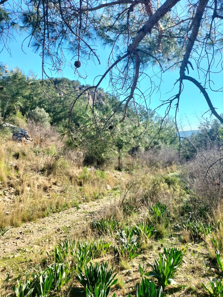

Thanks to the hot summers and mild winters in this region, the vegetation is also diverse. Different types of flowers and grasses have come to life on the stones, on the banks and on the top of the mound.
Bu bölgede yaşanan sıcak yazlar ile ılıman derecedeki kışlar sayesinde, bitki örtüsüde çeşitlik gösteriyor. Çevrede bulunan farklı türdeki çiçekler ve otlar taşlarının üzerinde, kıyısında kenarında ve toparağın üstünde can bulmuş.
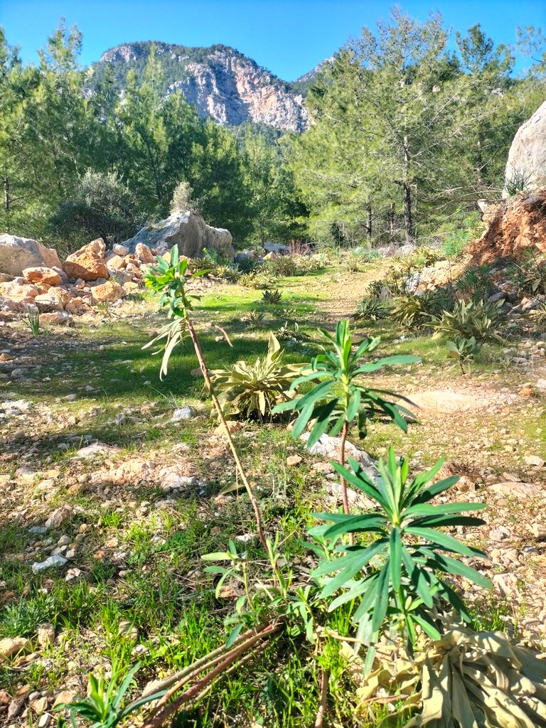
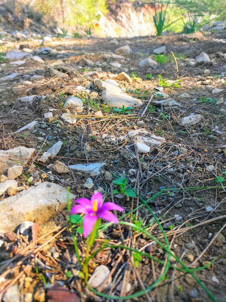
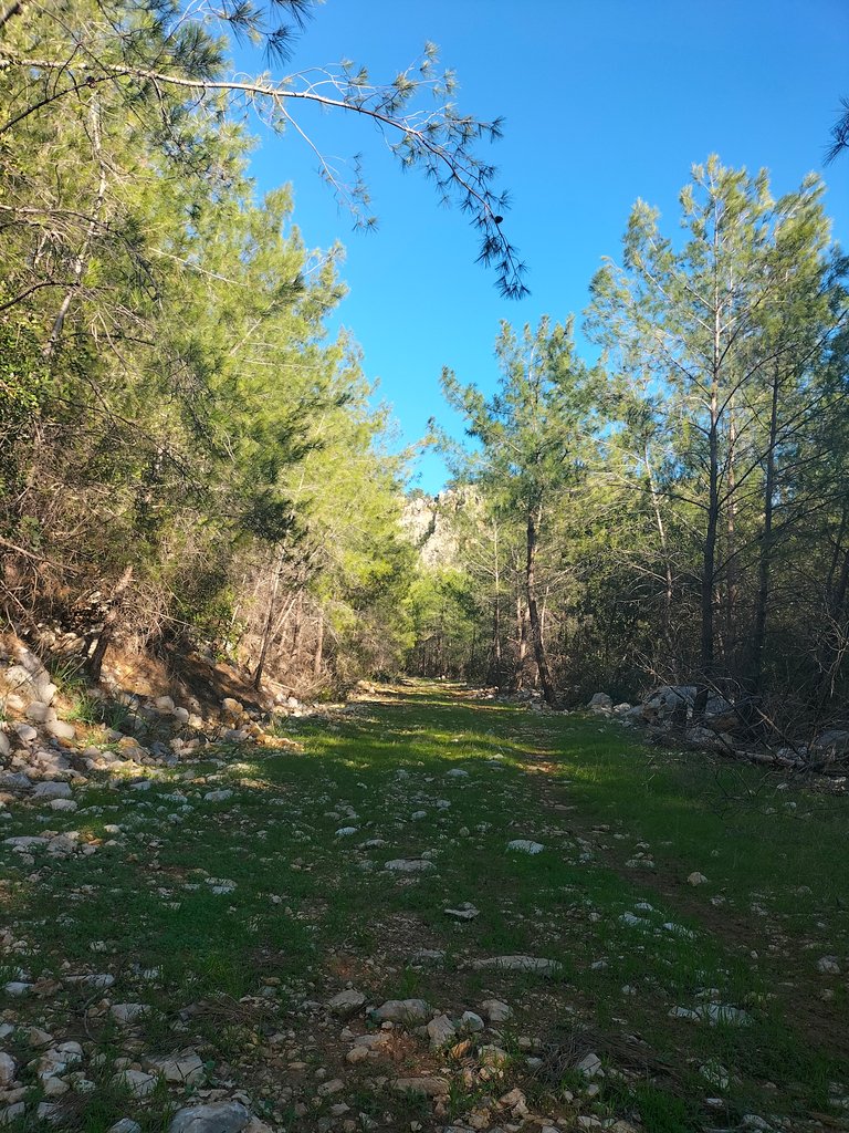
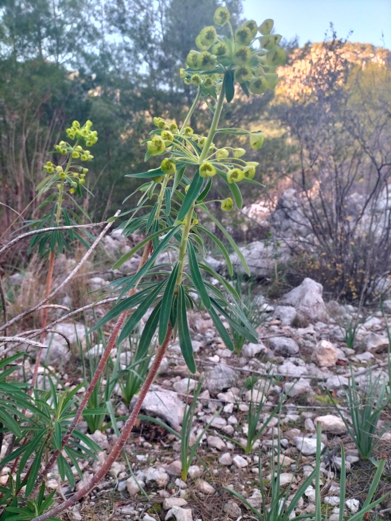
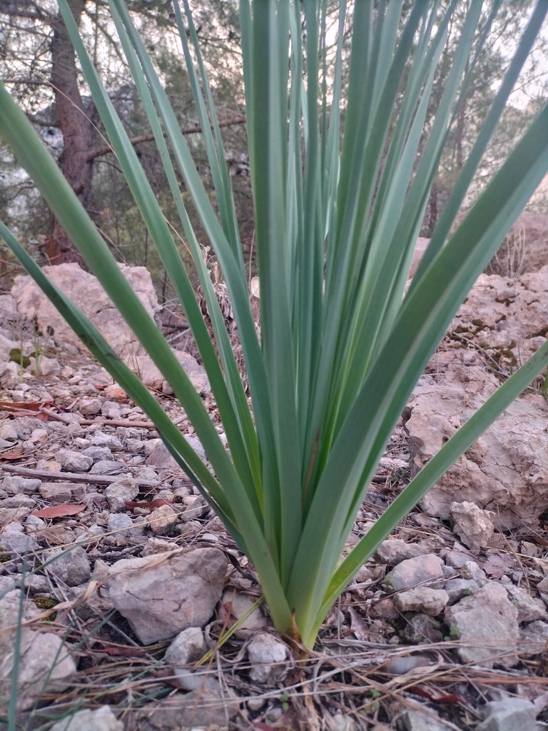
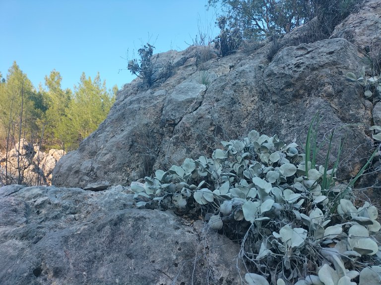
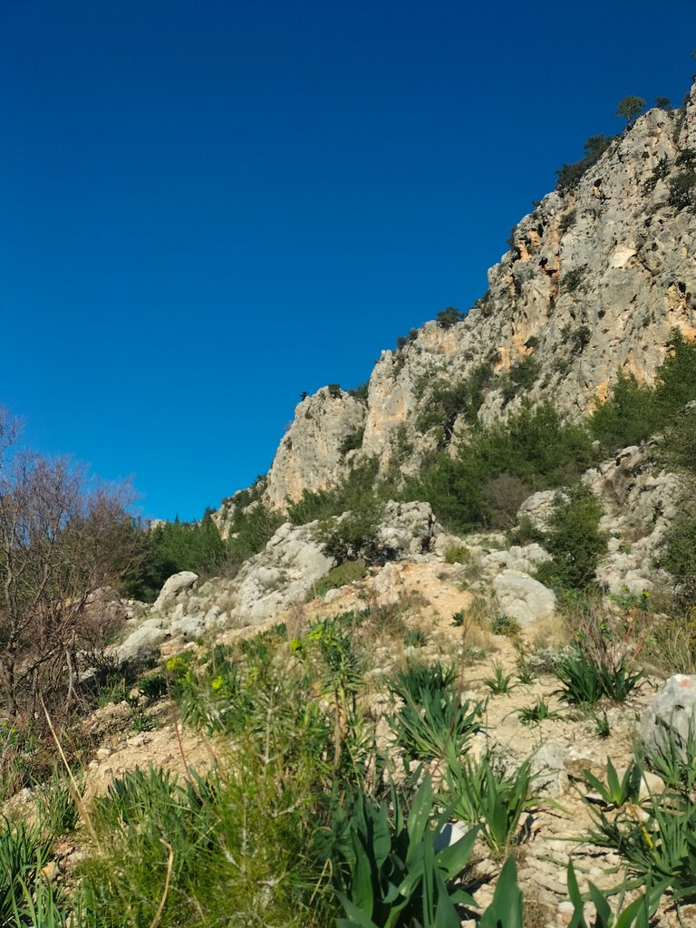
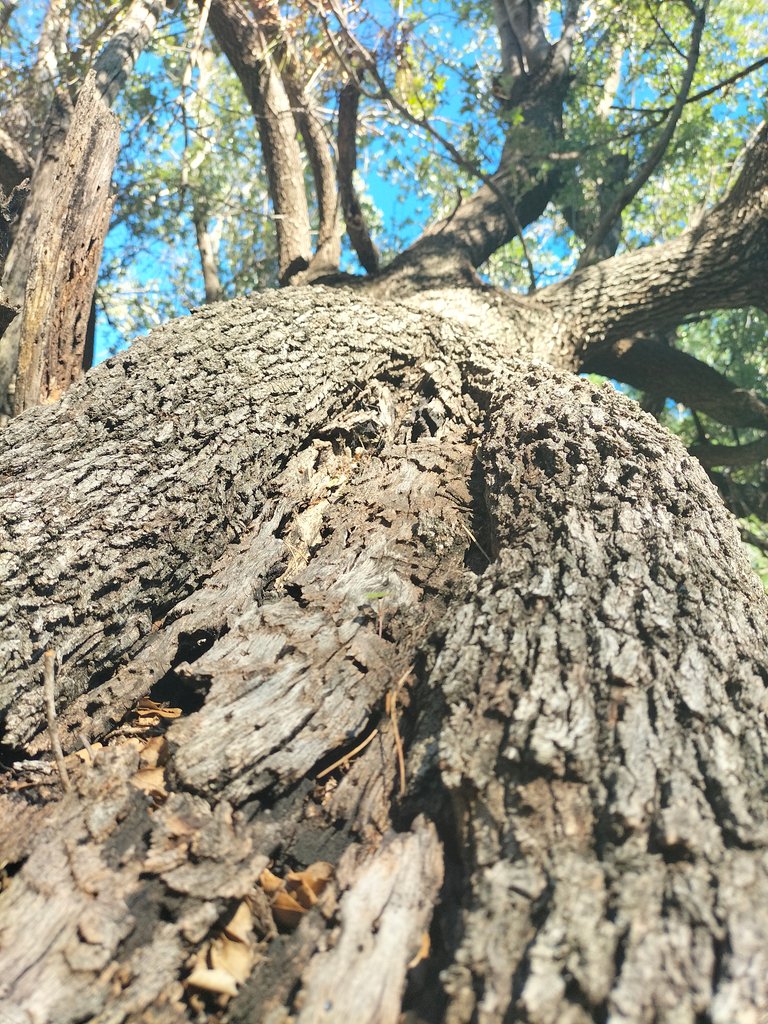
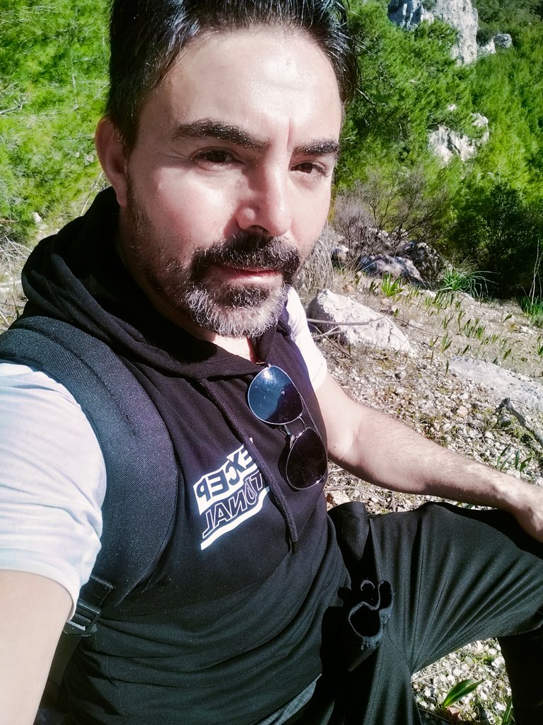
Although I can't reach the top, I reach the points where I can see the high mountains and the sea with its shining face from afar and take a short break by leaning my back against a stone. I am quite far away from the sea level. The forest cover, which is mostly red pine on the coasts, is replaced by larch and cedar trees as I climb higher. The trunks of some pine trees are bent parallel to the ground. I took their beautiful view in my frame.
En tepeye ulaşamasam da yüksek dağları, ve denizi uzaktan parlayan yüzüyle gördüğüm noktalara ulaşarak kısa bir mola vererek bir taşa sırtımı yaslayarak mola veriyorum. Deniz seviyesinden oldukça uzaklaşmış durumundayım. Kıyılarda daha çok, kızılçam olan orman örtüsü yükseklere çıktıkça, yerini karaçam ve sedir ağaçlarına bırakıyor. Bazı çam ağaçlarının gövdeleri toprağa pararlel olarak eğilmiş. Onların güzeş görüntüsünü kadrajıma da aldım.
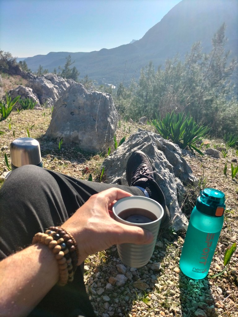
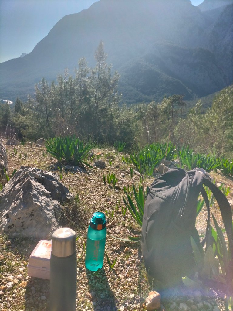
After a short break, I see that the passageways are gradually closing and narrowing. I couldn't risk diving into the bushes and forest with large boulders. I have already been walking for about two and a half to three hours.
Kısa bir molanın ardından, artık geçiş yollarının yavaş yavaş kapandığını ve daraldığını görüyorum. Büyük kaya parçaları ile çalılar ve ormanın içine dalmayı göze alamadım. Zaten yaklaşık iki buçuk üç saattir yürüyorum.
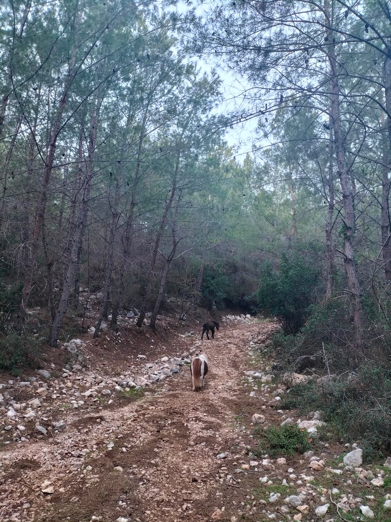
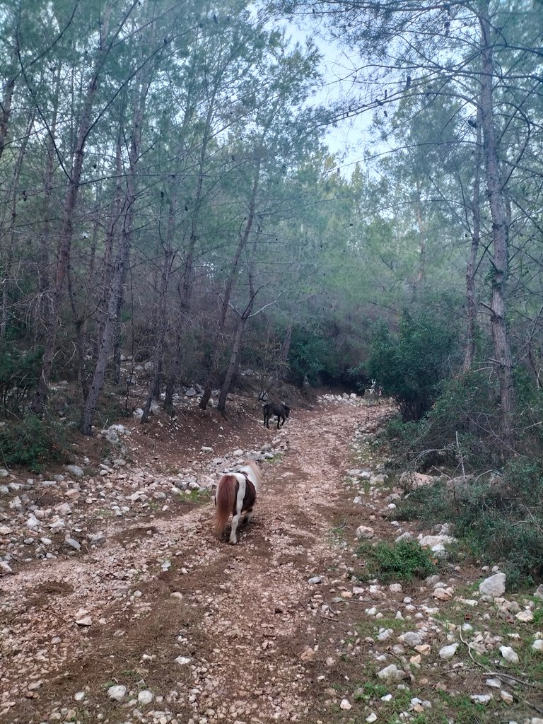
At the beginning of my article, I mentioned the tracks of horses on the ground. In this region, especially foreign tourists are taken on horseback. On the way back I saw people riding horses and people walking them. I saluted and passed by. I even came across a cute pony horse riding at the back.
Yazımın başında, atların toprak izlerinden bahsetmiştim. Bu bölgede özellikle yabancı turistleri at üzerinde gezdiriyorlarmış. Geri dönül yolunda ata binenleri ve onları gezdiren kişleri gördüm. Selam vererek geçtim. Hatta en arkadan giden şirin bir midilli atına bile rastladım.
You can check out this post and your own profile on the map. Be part of the Worldmappin Community and join our Discord Channel to get in touch with other travelers, ask questions or just be updated on our latest features.
This post has been manually curated by @steemflow from Indiaunited community. Join us on our Discord Server.
Do you know that you can earn a passive income by delegating to @indiaunited. We share more than 100 % of the curation rewards with the delegators in the form of IUC tokens. HP delegators and IUC token holders also get upto 20% additional vote weight.
Here are some handy links for delegations: 100HP, 250HP, 500HP, 1000HP.
100% of the rewards from this comment goes to the curator for their manual curation efforts. Please encourage the curator @steemflow by upvoting this comment and support the community by voting the posts made by @indiaunited.
Hiya, @glecerioberto here, just swinging by to let you know that this post made it into our Honorable Mentions in Travel Digest #2447.
Your post has been manually curated by the @worldmappin team. If you like what we're doing, please drop by to check out all the rest of today's great posts and consider supporting other authors like yourself and us so we can keep the project going!
Become part of our travel community:
Thank you very much for your support and choice
You are very welcome @passenger777! it was well deserved. ☀️
Keep up the great work 💪
Thank you:)
@tipu curate 10
Upvoted 👌 (Mana: 0/75) Liquid rewards.
Thank you very much:)