Landscape Photography Round 98 | Formentera | ENG / ESP
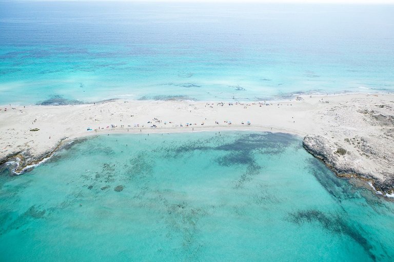
The north of the small island of Formentera is a thin strip of land that divides the warm waters of the Mediterranean at that latitude. The area enjoys good environmental protection and is not accessible by any kind of vehicle, so visitors must walk to this wonder of the Balearic landscape.
Aerial photo taken from a helicopter as part of a reportage of the island commissioned by a publishing house.
ESP
El norte de la pequeña isla de Formentera es una fina franja de tierra que divide las cálidas aguas del Mediterráneo en esa latitud. El área disfruta de una buena protección medioambiental y no se puede acceder a ella con niguna clase de vehículos, con lo que los visitantes deben llegar andando a esta maravilla del paisaje balear.
Foto aérea tomada desde un helicóptero en el marco de un reportaje de la isla encargado por una editorial de libros turísticos.

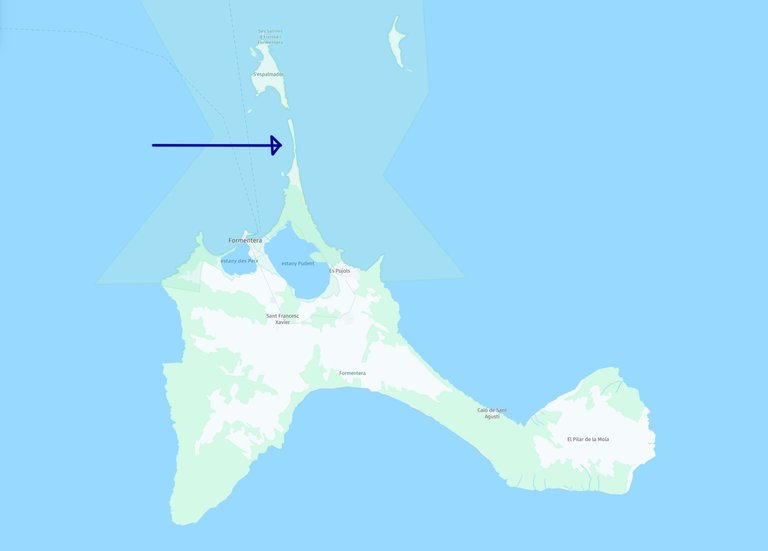
Here the exact spot from which the photo was taken
El punto exacto desde donde se hizo la foto.

You can check out this post and your own profile on the map. Be part of the Worldmappin Community and join our Discord Channel to get in touch with other travelers, ask questions or just be updated on our latest features.
Congratulations, your post has been added to the TravelFeed Map! 🎉🥳🌴
Did you know you have your own profile map?
And every post has their own map too!
Want to have your post on the map too?
- Go to TravelFeed Map
- Click the create pin button
- Drag the marker to where your post should be. Zoom in if needed or use the search bar (top right).
- Copy and paste the generated code in your post (any Hive frontend)
- Or login with Hive Keychain or Hivesigner and click "create post" to post to Hive directly from TravelFeed
- Congrats, your post is now on the map!
PS: You can import your previous Pinmapple posts to the TravelFeed map.Opt Out