When the rivers meet [EN/PT]


Last weekend was my son's birthday, and we had a party to celebrate at a farm owned by my friend's father, which is located in my hometown. I took the drone to take some footage of the farm, as my friend had asked, because his father intends to rent it out. After completing the task, I took the opportunity to explore the area with the drone.
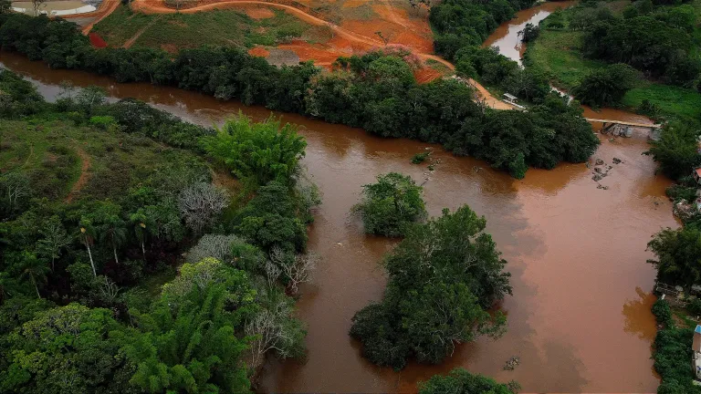
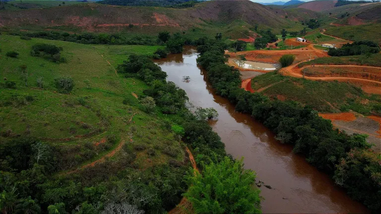
It had been raining a lot over the last few days, and the color of the river was very brown because of the mud coming down with the current. I thought I'd explore the river as much as I could, but it was very windy, so I was as cautious as possible. My drone is a DJI Mini 2 SE, and I know that something could go wrong if I didn't keep an eye on the wind.
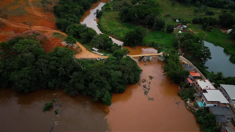
My intention was to get to the point where the city's two rivers meet, the Paraibuna River and the Peixe River. Paraibuna, in the indigenous language, means “dark water”, but on this occasion, the river with the darkest water was the Rio do Peixe. As it rained a lot, as I mentioned before, you could perfectly see the junction of the two rivers, very close to where they are building a bridge that will lead to a condominium that is also being built nearby.
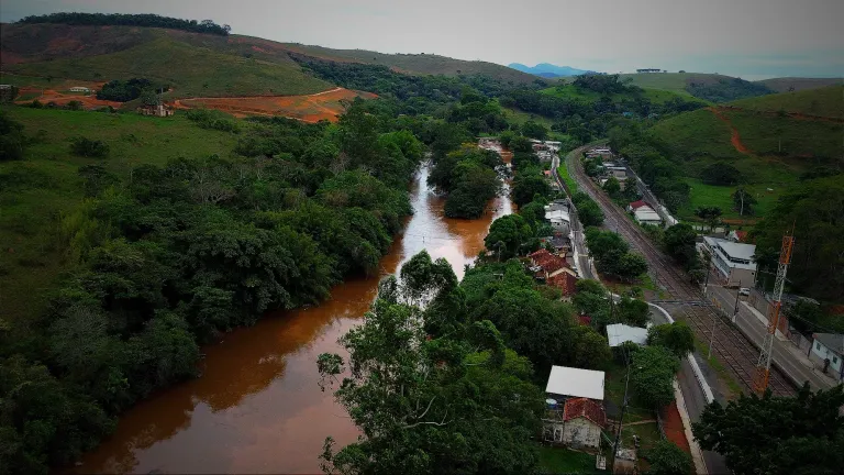
The Paraibuna River is a river that passes through the town where I currently live, about 40 kilometers from where I took the picture with the drone, and its total length is 160 km. The Rio do Peixe comes from other towns further away and runs for 180 kilometers until it flows into the Rio Paraibuna, further increasing the volume of the main river in the area where I live.
I would have liked to have taken more photos and explored this occasion when the waters were different colors, but I can't deny that I was a little afraid because of the strong winds. Even so, with these photos it was possible to get a good idea of how these two forces come together until they flow into an even bigger river on their way to the sea.
Translated with DeepL

[PT]
No fim de semana passado, foi aniversário do meu filho, e fizemos uma festa para comemorar em uma granja do pai de um amigo meu, que fica localizada na minha cidade natal. Levei o drone para fazer algumas filmagens da granja, como meu amigo havia pedido, pois o pai dele pretende alugá-la. Depois de cumprir a tarefa, aproveitei para explorar a região com o drone.
Tinha chovido bastante nos últimos dias, e a cor do rio estava bem marrom por causa da lama que descia com a correnteza. Pensei em explorar o rio o máximo que pudesse, mas estava ventando muito, então fui o mais cauteloso possível. Meu drone é um DJI Mini 2 SE, e sei que algo poderia dar errado se eu não ficasse atento ao vento.
Minha intenção era chegar até o ponto em que os dois rios dessa cidade se encontram, o Rio Paraibuna e o Rio do Peixe. Paraibuna, no idioma indígena, significa "água escura", mas, nessa ocasião, o rio com a água mais escura era o Rio do Peixe. Como choveu bastante, como mencionei antes, deu para ver perfeitamente a junção dos dois rios, bem perto de onde estão construindo uma ponte que levará a um condomínio que também está sendo erguido ali perto.
O Rio Paraibuna é um rio que passa pela cidade onde moro atualmente, a cerca de 40 quilômetros de onde tirei a foto com o drone, e sua extensão total é de 160 km. O Rio do Peixe vem de outras cidades mais distantes e percorre 180 quilômetros até desaguar no Rio Paraibuna, aumentando ainda mais o volume do rio principal desta região onde moro.
Gostaria de ter tirado mais fotos e explorado essa ocasião em que as águas estavam com cores diferentes, mas não posso negar que fiquei com um pouco de receio por causa dos ventos fortes. Ainda assim, com essas fotos foi possível ter uma boa noção de como essas duas forças se juntam até desaguar em um rio ainda maior, a caminho do mar.

For the best experience view this post on Liketu
Obrigado por promover a comunidade Hive-BR em suas postagens.
Vamos seguir fortalecendo a Hive