The three bridges in Kristiansand, Norway
Lundsbroa is the oldest brige that crosses the Otra River and thus connects the districts with each other. The bridge's official name is "Thygeson's memory", a name it has been given after a famous person in the city. The current bridge was built in 1938. But there was a bridge built in 1810, which was the very first bridge. It was not located in the same place as the current bridge. It was located further out towards the mouth of the river. When it was completed, it was financed by tolls.
Christian Quartbroa is the newest addition to the bridges in our city. It was completed on December 17, 2020. Since I always walk on Lundsbroa on my way to the city and to work, I have been able to follow the construction. It is named after the city's founder, King Christian IV of Denmark and Norway (at that time Norway was under Denmark and thus we had to deal with the Danish king).
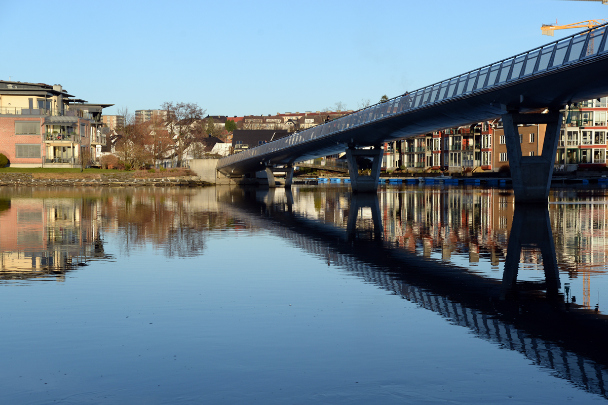
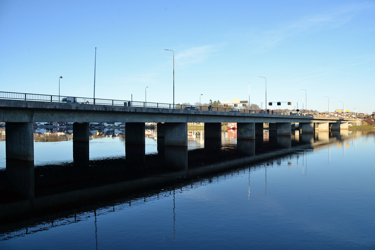
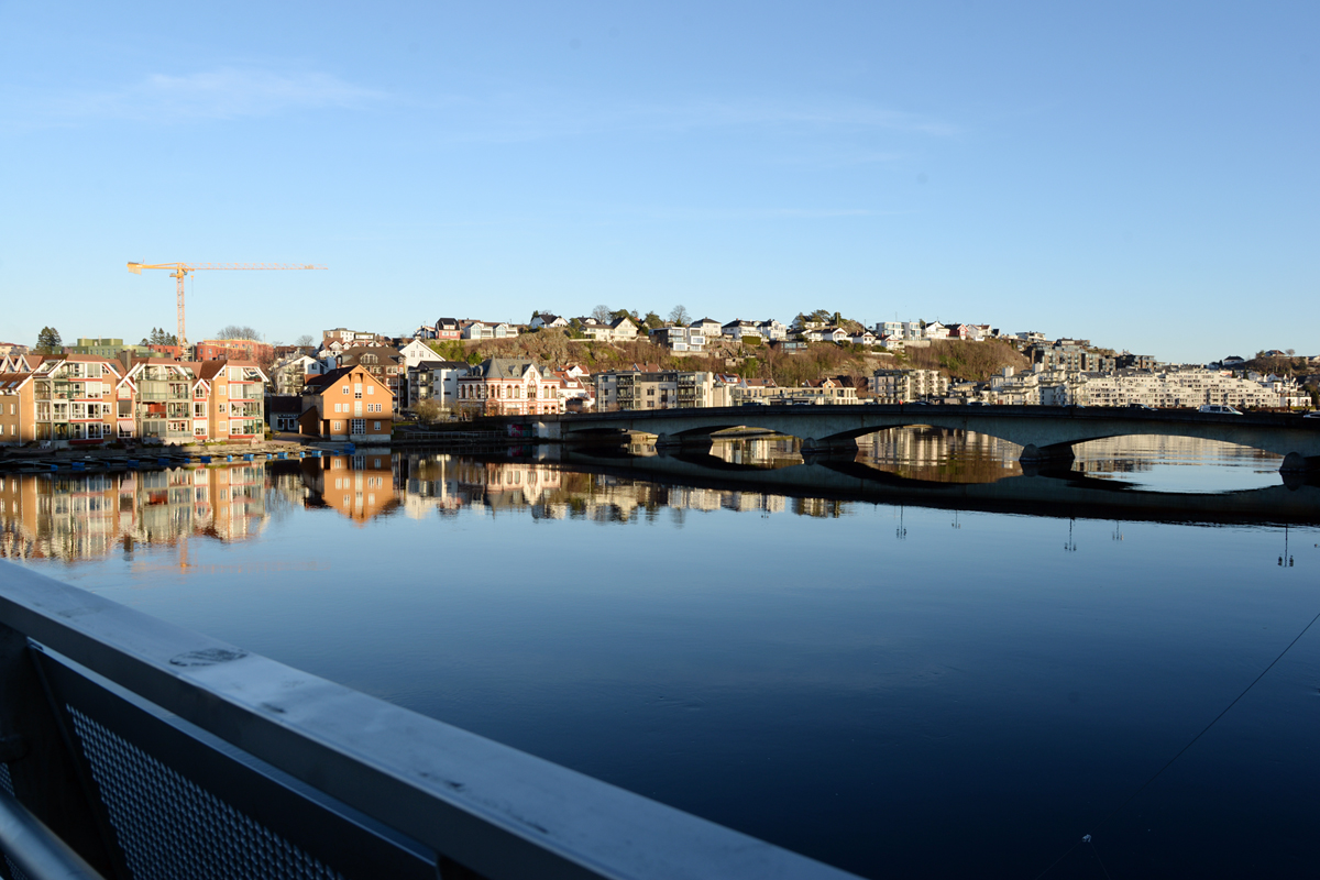 Looking towards Lundsbroa
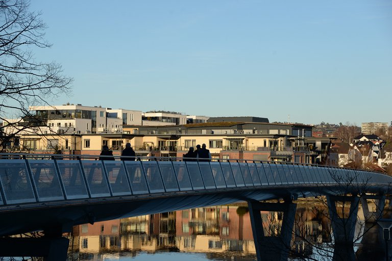
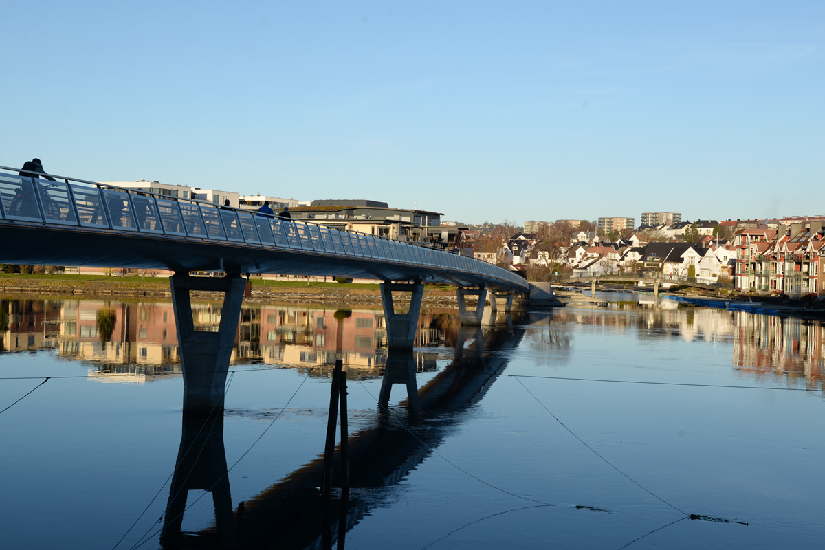
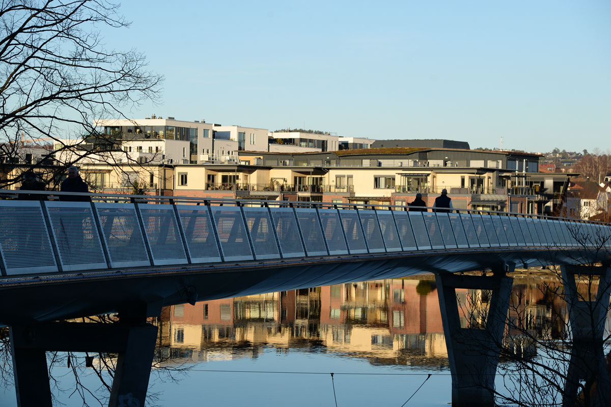
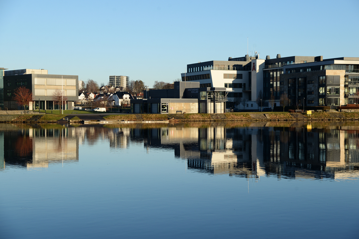
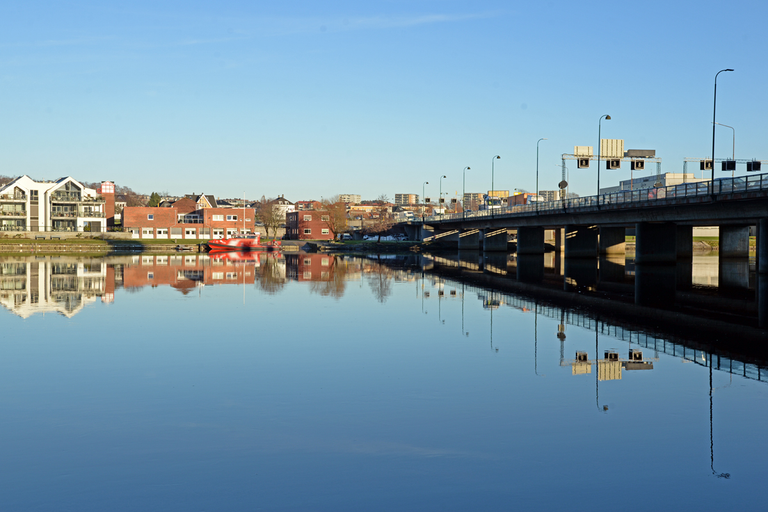
 Looking towards Oddernesbroa
This bridge is a footbridge for pedestrians and cyclists going from to and from the city to the housing estates on the eastern bank of the river. The eastern ending point is on the island of Kjøita, which is actually an artificial island with buildings and commercial buildings. It is quite an attractive area with parks and green areas, along with the promenade along the river. But before this commercial park was built, there was a sawmill here, so there was easy access to timber that was floated on the Otra and down to the Kjøita Sawmill.
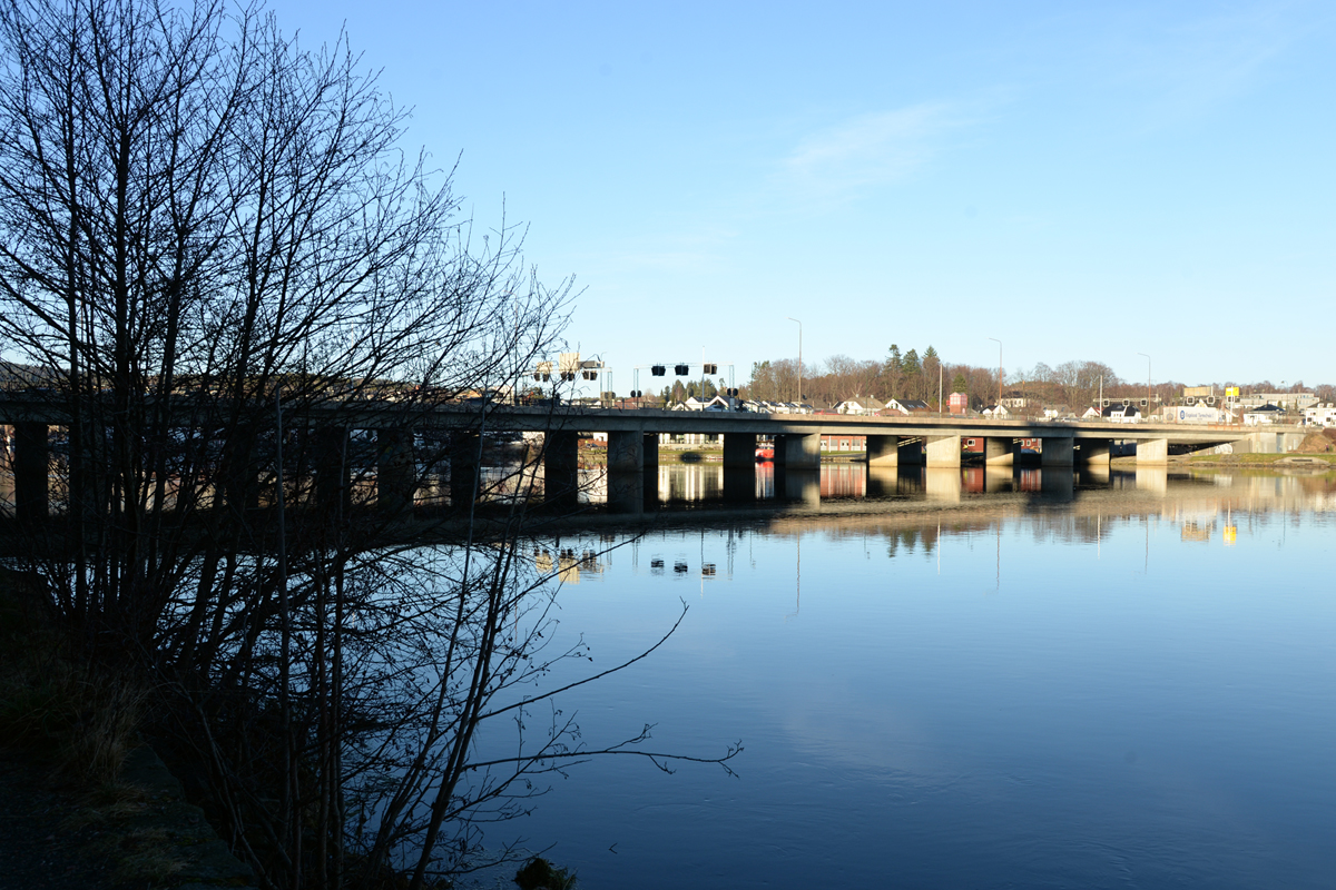
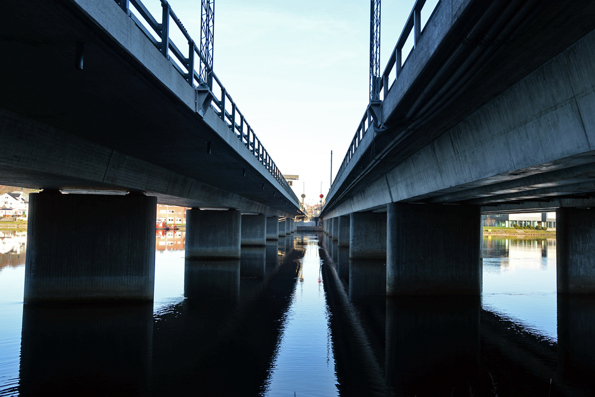
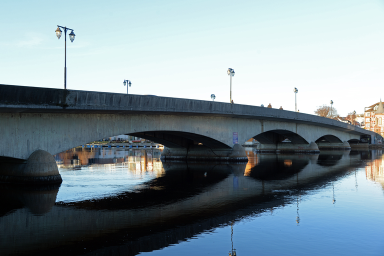
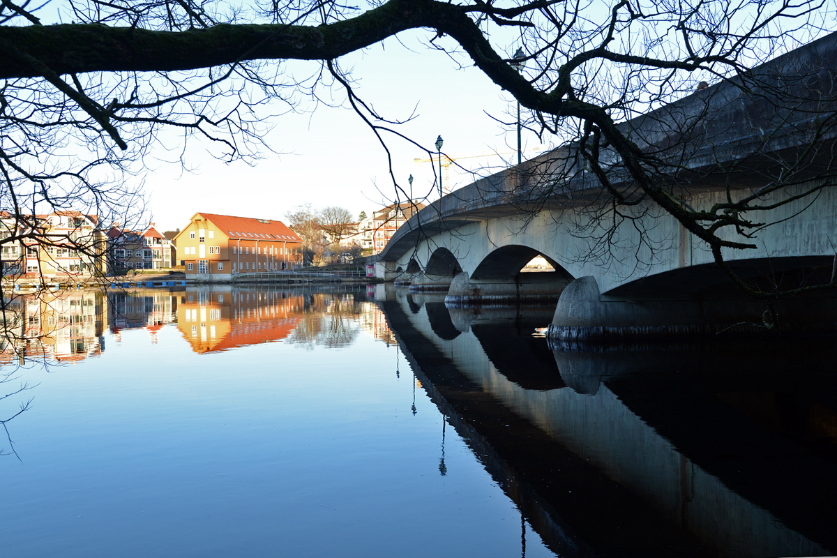
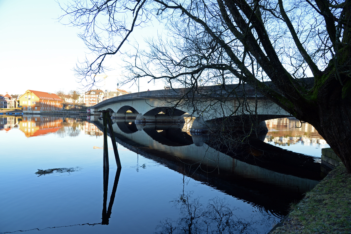
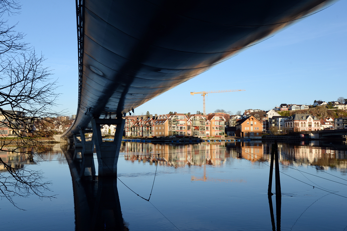
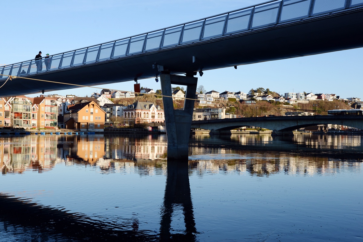
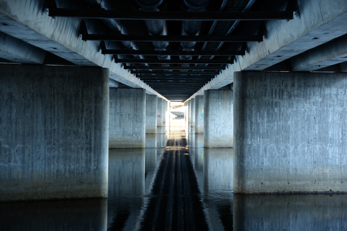 Beneath the bridge
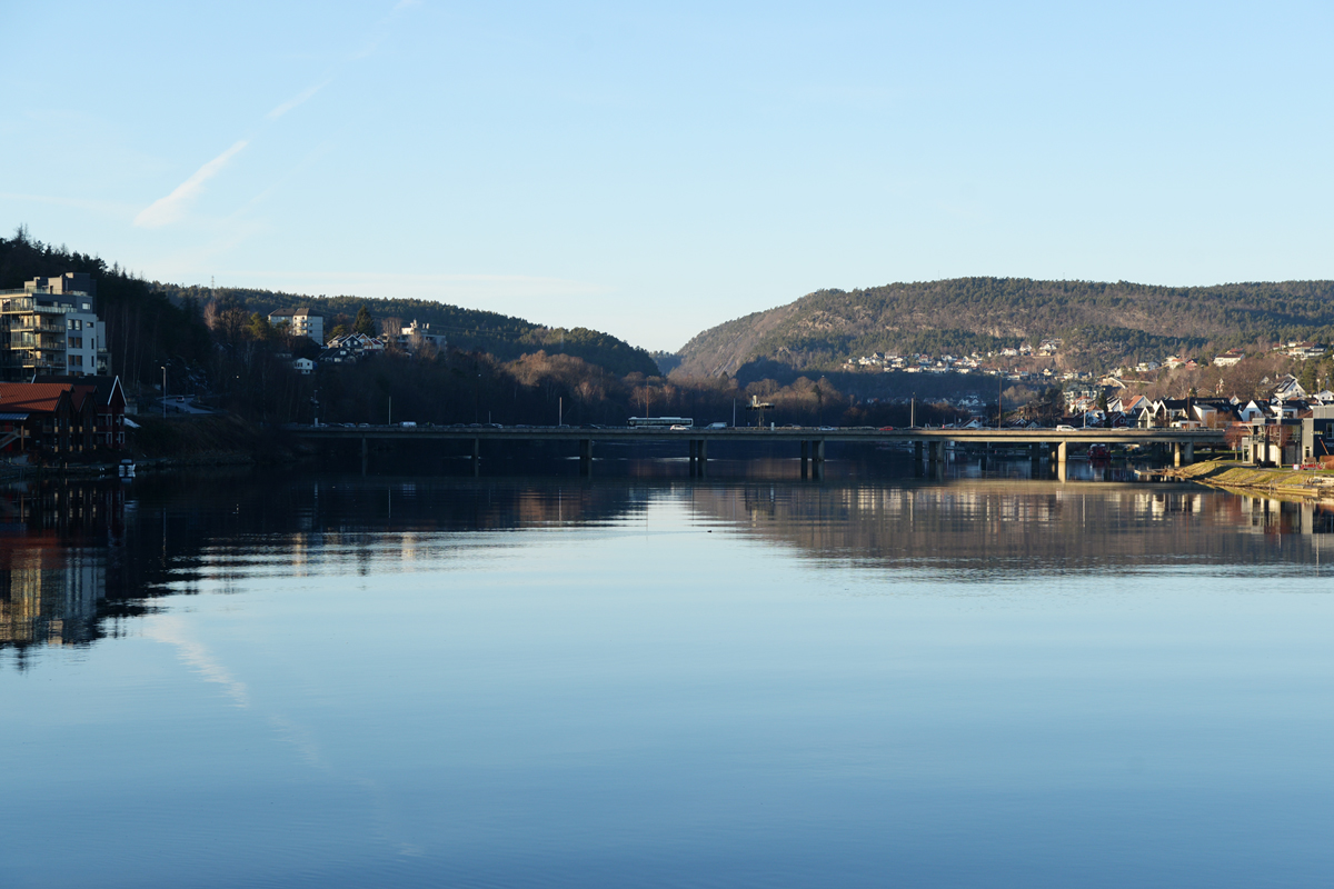
Oddernesbrua was built in the 1970s. This bridge is located a little further up the river, but no matter which bridge you stand on, you can see all of them. It was built in connection with the development and modernization of the main road through the city. Today this road goes through a tunnel and further through the city without going straight into the city center. In contrast to Lundsbroa that leads you straight into a busy city center. But at the place where the bridge stands today, there has been a ferry connection to Fergefjellet in ancient times. That is probably why the area got that name.
At this point I crossed the bridge and went home. I could have continued along the river into the forest. There are many trails that makes some good walks.
Source:
https://no.m.wikipedia.org/wiki/Lund_(Kristiansand)
Please do follow if you want to keep up with my next travel story. Any upvotes or reblogs are hugely appreciated!
Latest travel story, check out:
Kristiansand is on the New York Times list of 52 travel destinations in 2025
U.J
Kristiansand, Norway
All the photoes are mine, Ulla Jensen (flickr, Instagram and facebook)
[//]:# (!worldmappin 58.14992 lat 8.00574 long The three bridges in Kristiansand, Norway d3scr)Follow us for our street art contest and blogs about travel, art, photo, crypto & gaming

You can check out this post and your own profile on the map. Be part of the Worldmappin Community and join our Discord Channel to get in touch with other travelers, ask questions or just be updated on our latest features.
You have successfully visited a very beautiful place my brother 🙏♥️
🙂👍
This is obviously a marvelous walk on a cold and sunny day. The photos are amazing as they portray three different bridges built on different decades for several generations to enjoy. Well done @digi-me. This is one great post I get to see today showing me glimpses of your beautiful city.😇
Thanks for comment. I am glad you can see it's a great walk. It's mot always easy just to see that on photos. This area of town, walking on the western side, as I did is, one of the best walks in our city🙂 at least in my opinion...
Yes I agree with you that it is one of the best walks around the city. It is amazing to get to walk around those three structures. It's like crossing three generations of three different architectural designs.😇
I think you are right about it being three generations... each belong to a different era and all are different in their design, due to the style at the time it was build.
Very interesting picture
🙂👍
Thanks a lot🙂
Wow, it's really amazing, the view of the place is really beautiful, I'm really entertained seeing it ❤️
🙂👍
Hiya, @lauramica here, just swinging by to let you know that this post made it into our Top 3 in Travel Digest #2462.
Your post has been manually curated by the @worldmappin team. If you like what we're doing, please drop by to check out all the rest of today's great posts and consider supporting other authors like yourself and us so we can keep the project going!
Become part of our travel community:
Interestingly, all 3 bridges are relatively new... As I can see from the photos (the river is wide), I suppose that the river wasn't "kind" toward the old bridge... I know that here in Spain there are bridges that are hundreds of years old, but rivers are very narrow...
Thanks for sharing!!!
I have picked this post on behalf of the @OurPick project! Check out our Reading Suggestions Posts!
Please consider voting for our Liotes HIVE Witness. Thank you!
Thank you :). The river is wide. You are right about that. From the starting point and to the point where it meets the sea, it has a lenght of a little more than 300 kilometeres. Before the first bridge there was a ferry between the two shores and at that time there were no cars, only horses and wagons.
!ALIVE
!LOL
!INDEED
!HOPE
lolztoken.com
I still can't figure out y.
Credit: reddit
@digi-me, I sent you an $LOLZ on behalf of cryptoyzzy
(6/10)
NEW: Join LOLZ's Daily Earn and Burn Contest and win $LOLZ
Sounds like a lovely walk.
It must have felt refreshing to get outside and enjoy the sunshine after so many rainy days.
Thank you for sharing such spectacular photos.
!BBH
!DIY
Today another beautiful sunny day, but tomorrow the weather forecast says snow....
You can query your personal balance by
!DIYSTATS